Distance to Matagorda, Texas

Calculating Your Route
Just a moment while we process your request...
Location Information
-
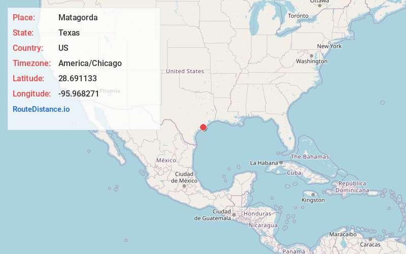
Full AddressMatagorda, TX 77457
-
Coordinates28.691133, -95.9682714
-
LocationMatagorda , Texas , US
-
TimezoneAmerica/Chicago
-
Current Local Time8:48:00 PM America/ChicagoThursday, June 19, 2025
-
Page Views0
About Matagorda
Matagorda is a census-designated place in Matagorda County, Texas, United States. It is located near the mouth of the Colorado River on the upper Texas coast in the United States. In 2020, its population was 313. Matagorda is primarily a tourist town, with commercial and recreational fishing being the top industries.


Nearby Places
Found 10 places within 50 miles

Palacios
15.1 mi
24.3 km
Palacios, TX 77465
Get directions

Markham
19.5 mi
31.4 km
Markham, TX 77456
Get directions

Bay City
20.2 mi
32.5 km
Bay City, TX 77414
Get directions

Sargent
20.9 mi
33.6 km
Sargent, TX 77414
Get directions

Van Vleck
23.1 mi
37.2 km
Van Vleck, TX
Get directions
Sweeny
29.0 mi
46.7 km
Sweeny, TX 77480
Get directions

Port O'Connor
31.4 mi
50.5 km
Port O'Connor, TX 77982
Get directions

Wild Peach Village
33.8 mi
54.4 km
Wild Peach Village, TX 77422
Get directions

Brazoria
34.3 mi
55.2 km
Brazoria, TX 77422
Get directions

Point Comfort
35.9 mi
57.8 km
Point Comfort, TX 77978
Get directions
Location Links
Local Weather
Weather Information
Coming soon!
Location Map
Static map view of Matagorda, Texas
Browse Places by Distance
Places within specific distances from Matagorda
Short Distances
Long Distances
Click any distance to see all places within that range from Matagorda. Distances shown in miles (1 mile ≈ 1.61 kilometers).