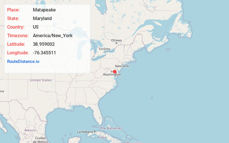
Distance to Matapeake, Maryland

Calculating Your Route
Just a moment while we process your request...
Location Information
-
Full AddressMatapeake, Stevensville, MD 21666
-
Coordinates38.9590017, -76.3455114
-
LocationStevensville , Maryland , US
-
TimezoneAmerica/New_York
-
Current Local Time11:46:08 PM America/New_YorkSunday, May 25, 2025
-
Page Views0
About Matapeake
Matapeake is an unincorporated community located south of Stevensville on Kent Island, Maryland, United States.
It is named for the historic Matapeake tribe, who lived there at the time of English colonization in 1631. Their chief village was on the southeast side of the island.
Nearby Places
Found 10 places within 50 miles

Bay City
0.6 mi
1.0 km
Bay City, Stevensville, MD 21666
Get directions

Chesapeake Estates
2.0 mi
3.2 km
Chesapeake Estates, MD 21666
Get directions
Stevensville
2.2 mi
3.5 km
Stevensville, MD 21666
Get directions

Bentons Pleasure
2.4 mi
3.9 km
Bentons Pleasure, Chester, MD 21619
Get directions
Chester
3.2 mi
5.1 km
Chester, MD
Get directions

Cloverfields
3.5 mi
5.6 km
Cloverfields, Stevensville, MD 21666
Get directions

Castle Marina
3.7 mi
6.0 km
Castle Marina, Chester, MD 21619
Get directions

Mattapex
4.0 mi
6.4 km
Mattapex, MD 21666
Get directions

Marling Farms
4.7 mi
7.6 km
Marling Farms, MD 21619
Get directions

Romancoke
5.4 mi
8.7 km
Romancoke, MD 21666
Get directions
Location Links
Local Weather
Weather Information
Coming soon!
Location Map

Static map view of Matapeake, Maryland
Browse Places by Distance
Places within specific distances from Matapeake
Short Distances
Long Distances
Click any distance to see all places within that range from Matapeake. Distances shown in miles (1 mile ≈ 1.61 kilometers).