Distance to Matt, Georgia

Calculating Your Route
Just a moment while we process your request...
Location Information
-
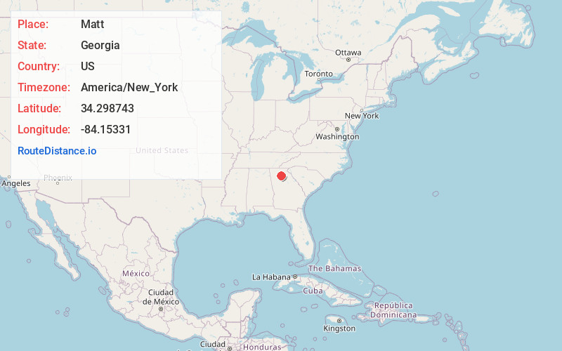
Full AddressMatt, GA 30040
-
Coordinates34.2987434, -84.1533098
-
LocationMatt , Georgia , US
-
TimezoneAmerica/New_York
-
Current Local Time10:42:53 AM America/New_YorkWednesday, June 25, 2025
-
Page Views0
About Matt
Matt is an unincorporated community in Forsyth County, Georgia, United States. It is located on Georgia State Route 369, which is named Matt Highway where it passes through the community.
Nearby Places
Found 10 places within 50 miles

Coal Mountain
3.5 mi
5.6 km
Coal Mountain, GA 30040
Get directions
Dunn
4.5 mi
7.2 km
Dunn, GA 30040
Get directions

Cumming
6.4 mi
10.3 km
Cumming, GA
Get directions
Drew
7.3 mi
11.7 km
Drew, GA 30040
Get directions

Dawsonville
8.7 mi
14.0 km
Dawsonville, GA 30534
Get directions
Holbrook
9.0 mi
14.5 km
Holbrook, GA 30004
Get directions
Holcomb
10.7 mi
17.2 km
Holcomb, GA 30107
Get directions

Ball Ground
13.1 mi
21.1 km
Ball Ground, GA 30107
Get directions
Nelson
13.7 mi
22.0 km
Nelson, GA
Get directions

Birmingham
13.7 mi
22.0 km
Birmingham, Milton, GA 30004
Get directions
Location Links
Local Weather
Weather Information
Coming soon!
Location Map
Static map view of Matt, Georgia
Browse Places by Distance
Places within specific distances from Matt
Short Distances
Long Distances
Click any distance to see all places within that range from Matt. Distances shown in miles (1 mile ≈ 1.61 kilometers).