Distance to Mattapoisett, Massachusetts

Calculating Your Route
Just a moment while we process your request...
Location Information
-
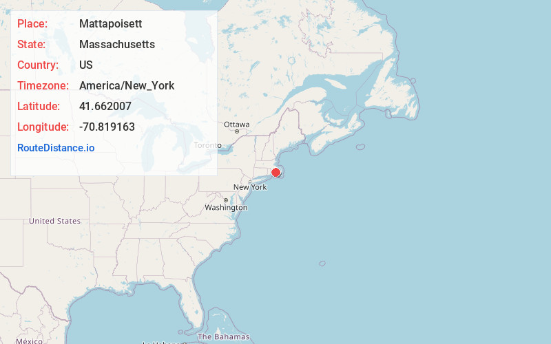
Full AddressMattapoisett, MA
-
Coordinates41.6620072, -70.8191632
-
LocationMattapoisett , Massachusetts , US
-
TimezoneAmerica/New_York
-
Current Local Time10:37:00 AM America/New_YorkSunday, June 15, 2025
-
Website
-
Page Views0
About Mattapoisett
Mattapoisett is a town in Plymouth County, Massachusetts, United States. The population was 6,508 at the 2020 census. Mattapoisett Center is located in the town.


Nearby Places
Found 10 places within 50 miles

Fairhaven
3.5 mi
5.6 km
Fairhaven, MA 02719
Get directions

Acushnet
5.7 mi
9.2 km
Acushnet, MA 02743
Get directions

New Bedford
5.9 mi
9.5 km
New Bedford, MA
Get directions

Wareham
8.5 mi
13.7 km
Wareham, MA
Get directions

Dartmouth
8.8 mi
14.2 km
Dartmouth, MA
Get directions

Freetown
12.2 mi
19.6 km
Freetown, MA
Get directions

Bourne
12.7 mi
20.4 km
Bourne, MA
Get directions

Falmouth
13.1 mi
21.1 km
Falmouth, MA
Get directions

Lakeville
14.4 mi
23.2 km
Lakeville, MA
Get directions

Westport
15.0 mi
24.1 km
Westport, MA
Get directions
Location Links
Local Weather
Weather Information
Coming soon!
Location Map
Static map view of Mattapoisett, Massachusetts
Browse Places by Distance
Places within specific distances from Mattapoisett
Short Distances
Long Distances
Click any distance to see all places within that range from Mattapoisett. Distances shown in miles (1 mile ≈ 1.61 kilometers).