Distance to Mattawana, Alabama

Calculating Your Route
Just a moment while we process your request...
Location Information
-
Full AddressMattawana, AL 35121
-
Coordinates33.9228761, -86.4902644
-
LocationAlabama , US
-
TimezoneAmerica/Chicago
-
Current Local Time12:13:18 AM America/ChicagoWednesday, June 25, 2025
-
Page Views0
Nearby Places
Found 10 places within 50 miles

Graystone
1.1 mi
1.8 km
Graystone, AL 35121
Get directions
Allgood
1.3 mi
2.1 km
Allgood, AL 35121
Get directions

Oneonta
2.0 mi
3.2 km
Oneonta, AL
Get directions
Armstead
3.4 mi
5.5 km
Armstead, AL 35121
Get directions
Easley
3.9 mi
6.3 km
Easley, AL 35121
Get directions
Highland Lake
4.8 mi
7.7 km
Highland Lake, AL 35121
Get directions

Rosa
4.9 mi
7.9 km
Rosa, AL
Get directions
Blow Gourd
5.7 mi
9.2 km
Blow Gourd, AL 35049
Get directions
Taits Gap
6.0 mi
9.7 km
Taits Gap, AL 35121
Get directions

Cleveland
6.8 mi
10.9 km
Cleveland, AL
Get directions
Location Links
Local Weather
Weather Information
Coming soon!
Location Map
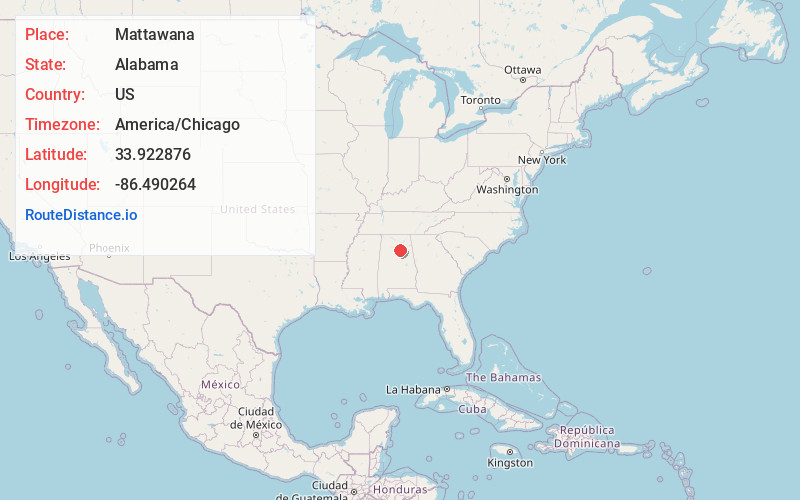
Static map view of Mattawana, Alabama
Browse Places by Distance
Places within specific distances from Mattawana
Short Distances
Long Distances
Click any distance to see all places within that range from Mattawana. Distances shown in miles (1 mile ≈ 1.61 kilometers).