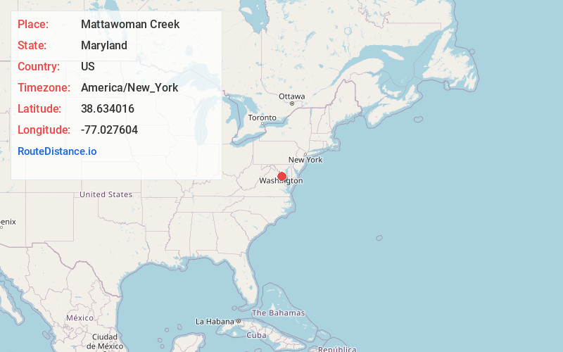
Distance to Mattawoman Creek, Maryland

Calculating Your Route
Just a moment while we process your request...
Location Information
-
Full AddressMattawoman Creek, Maryland
-
Coordinates38.6340156, -77.0276037
-
LocationMaryland , US
-
TimezoneAmerica/New_York
-
Current Local Time5:41:48 PM America/New_YorkTuesday, July 1, 2025
-
Page Views0


Nearby Places
Found 10 places within 50 miles

Bennsville
1.9 mi
3.1 km
Bennsville, MD
Get directions

Accokeek
2.3 mi
3.7 km
Accokeek, MD
Get directions

Bryans Road
2.5 mi
4.0 km
Bryans Road, MD
Get directions

North Indian Head Estates
2.9 mi
4.7 km
North Indian Head Estates, Bryans Road, MD 20616
Get directions
Pomonkey
3.0 mi
4.8 km
Pomonkey, Bryans Road, MD 20646
Get directions
Berry
3.9 mi
6.3 km
Berry, Waldorf, MD 20603
Get directions
Pomfret
4.2 mi
6.8 km
Pomfret, MD
Get directions
South Piscataway
4.4 mi
7.1 km
South Piscataway, Accokeek, MD 20607
Get directions

Fort Washington
5.1 mi
8.2 km
Fort Washington, MD 20744
Get directions
Potomac Heights
6.2 mi
10.0 km
Potomac Heights, MD 20640
Get directions
Location Links
Local Weather
Weather Information
Coming soon!
Location Map
Static map view of Mattawoman Creek, Maryland
Browse Places by Distance
Places within specific distances from Mattawoman Creek
Short Distances
Long Distances
Click any distance to see all places within that range from Mattawoman Creek. Distances shown in miles (1 mile ≈ 1.61 kilometers).