Distance to Mattoax, Virginia

Calculating Your Route
Just a moment while we process your request...
Location Information
-
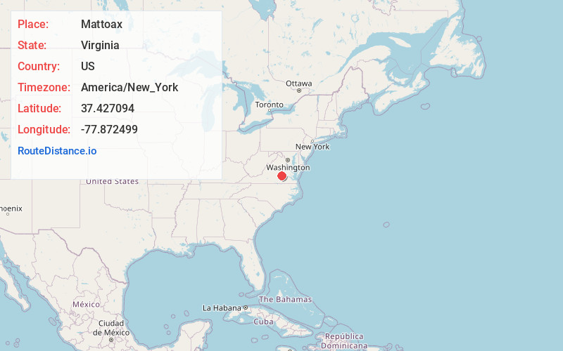
Full AddressMattoax, VA 23002
-
Coordinates37.4270939, -77.8724991
-
LocationVirginia , US
-
TimezoneAmerica/New_York
-
Current Local Time9:04:40 AM America/New_YorkMonday, June 23, 2025
-
Page Views0
About Mattoax
Mattoax is an unincorporated community in northeastern Amelia County in the U.S. state of Virginia. Originally it was located on the right bank of the Appomattox River.
Beginning in 1851, the town had its own post office, listed as "Appomattox Depot" or "Appomattox River" at first.
Nearby Places
Found 10 places within 50 miles

Macon
8.2 mi
13.2 km
Macon, VA 23139
Get directions
Haw Branch
8.2 mi
13.2 km
Haw Branch, VA 23002
Get directions

Powhatan
8.3 mi
13.4 km
Powhatan, VA 23139
Get directions

Woodlake
10.6 mi
17.1 km
Woodlake, VA
Get directions

Midlothian
13.4 mi
21.6 km
Midlothian, VA
Get directions
Thorncliff
15.3 mi
24.6 km
Thorncliff, VA 23102
Get directions
Rockwood
16.5 mi
26.6 km
Rockwood, VA
Get directions

Goochland
17.8 mi
28.6 km
Goochland, VA 23063
Get directions
Manchester
18.5 mi
29.8 km
Manchester, VA
Get directions

Bon Air
18.5 mi
29.8 km
Bon Air, VA
Get directions
Location Links
Local Weather
Weather Information
Coming soon!
Location Map
Static map view of Mattoax, Virginia
Browse Places by Distance
Places within specific distances from Mattoax
Short Distances
Long Distances
Click any distance to see all places within that range from Mattoax. Distances shown in miles (1 mile ≈ 1.61 kilometers).