Distance to Maumelle, Arkansas

Calculating Your Route
Just a moment while we process your request...
Location Information
-
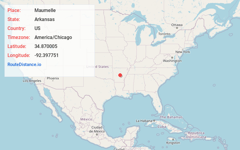
Full AddressMaumelle, AR
-
Coordinates34.8700046, -92.3977509
-
LocationMaumelle , Arkansas , US
-
TimezoneAmerica/Chicago
-
Current Local Time7:06:50 PM America/ChicagoSaturday, June 21, 2025
-
Website
-
Page Views0
About Maumelle
Maumelle is a city in Pulaski County, Arkansas, United States. As of the 2020 census, the city's population was 19,251. The city is located northwest of Little Rock, bordering the opposite shore of the Arkansas River and is part of the Little Rock metropolitan area.


Nearby Places
Found 10 places within 50 miles

Little Rock
10.7 mi
17.2 km
Little Rock, AR
Get directions

Sherwood
12.0 mi
19.3 km
Sherwood, AR
Get directions

Jacksonville
15.3 mi
24.6 km
Jacksonville, AR
Get directions

Conway
15.5 mi
24.9 km
Conway, AR
Get directions

Bryant
17.9 mi
28.8 km
Bryant, AR
Get directions

Cabot
22.8 mi
36.7 km
Cabot, AR
Get directions

Benton
23.4 mi
37.7 km
Benton, AR
Get directions

Hot Springs
44.9 mi
72.3 km
Hot Springs, AR
Get directions

Searcy
45.5 mi
73.2 km
Searcy, AR
Get directions

Pine Bluff
49.9 mi
80.3 km
Pine Bluff, AR
Get directions
Location Links
Local Weather
Weather Information
Coming soon!
Location Map
Static map view of Maumelle, Arkansas
Browse Places by Distance
Places within specific distances from Maumelle
Short Distances
Long Distances
Click any distance to see all places within that range from Maumelle. Distances shown in miles (1 mile ≈ 1.61 kilometers).