Distance to Maurepas, Louisiana

Calculating Your Route
Just a moment while we process your request...
Location Information
-
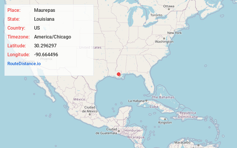
Full AddressMaurepas, LA 70449
-
Coordinates30.2962967, -90.6644962
-
LocationMaurepas , Louisiana , US
-
TimezoneAmerica/Chicago
-
Current Local Time7:36:56 PM America/ChicagoFriday, May 30, 2025
-
Page Views0
About Maurepas
Maurepas is an unincorporated community in the south/southwestern area of Livingston Parish, Louisiana, United States. Louisiana Highway 22 passes through the community and Whitehall lies two miles to the east. Lake Maurepas is six miles to the east and the Amite River lies approximately one half mile to the north.

Nearby Places
Found 10 places within 50 miles

Killian
6.4 mi
10.3 km
Killian, LA 70462
Get directions
French Settlement
7.8 mi
12.6 km
French Settlement, LA
Get directions

Port Vincent
11.4 mi
18.3 km
Port Vincent, LA
Get directions

Springfield
11.5 mi
18.5 km
Springfield, LA 70462
Get directions
Wadesboro
13.9 mi
22.4 km
Wadesboro, LA 70454
Get directions

Sorrento
14.0 mi
22.5 km
Sorrento, LA
Get directions

Livingston
15.1 mi
24.3 km
Livingston, LA 70754
Get directions

Albany
15.2 mi
24.5 km
Albany, LA
Get directions

Gonzales
15.8 mi
25.4 km
Gonzales, LA 70737
Get directions

Ponchatoula
16.5 mi
26.6 km
Ponchatoula, LA
Get directions
Location Links
Local Weather
Weather Information
Coming soon!
Location Map
Static map view of Maurepas, Louisiana
Browse Places by Distance
Places within specific distances from Maurepas
Short Distances
Long Distances
Click any distance to see all places within that range from Maurepas. Distances shown in miles (1 mile ≈ 1.61 kilometers).