Distance to Maurice A. Ferré Park, Florida

Calculating Your Route
Just a moment while we process your request...
Location Information
-
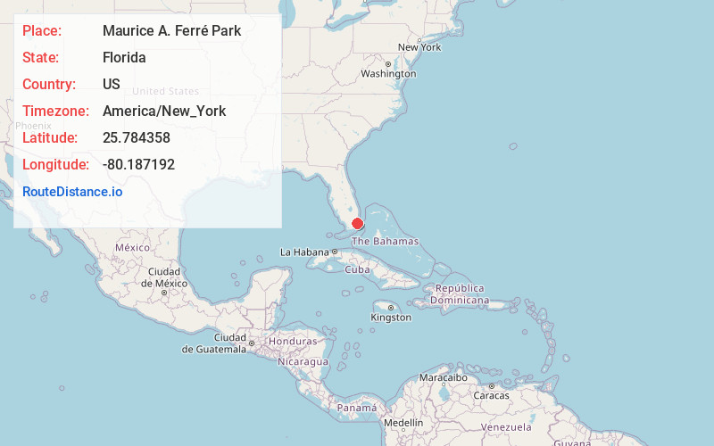
Full AddressMaurice A. Ferré Park, 1075 Biscayne Blvd, Miami, FL 33132
-
Coordinates25.7843583, -80.1871918
-
Street1075 Biscayne Blvd
-
NeighborhoodDowntown Miami
-
LocationMiami , Florida , US
-
TimezoneAmerica/New_York
-
Current Local Time2:39:31 AM America/New_YorkFriday, June 13, 2025
-
Website
-
Page Views0
About Maurice A. Ferré Park
Spacious waterside park featuring a sand beach, large amphitheater & a playground.


Nearby Places
Found 10 places within 50 miles

Miami
1.6 mi
2.6 km
Miami, FL
Get directions

Fisher Island
3.1 mi
5.0 km
Fisher Island, FL 33109
Get directions

Miami Beach
3.6 mi
5.8 km
Miami Beach, FL
Get directions

Brownsville
4.3 mi
6.9 km
Brownsville, FL 33142
Get directions

Glenwood Heights
4.5 mi
7.2 km
Glenwood Heights, Brownsville, FL 33142
Get directions

North Bay Village
4.7 mi
7.6 km
North Bay Village, FL 33141
Get directions

Gladeview
4.8 mi
7.7 km
Gladeview, FL
Get directions

El Portal
4.9 mi
7.9 km
El Portal, FL
Get directions

Coral Gables
5.3 mi
8.5 km
Coral Gables, FL
Get directions

Miami Shores
5.5 mi
8.9 km
Miami Shores, FL
Get directions
Location Links
Local Weather
Weather Information
Coming soon!
Location Map
Static map view of Maurice A. Ferré Park, Florida
Browse Places by Distance
Places within specific distances from Maurice A. Ferré Park
Short Distances
Long Distances
Click any distance to see all places within that range from Maurice A. Ferré Park. Distances shown in miles (1 mile ≈ 1.61 kilometers).