Distance to Mauriceville, Texas

Calculating Your Route
Just a moment while we process your request...
Location Information
-
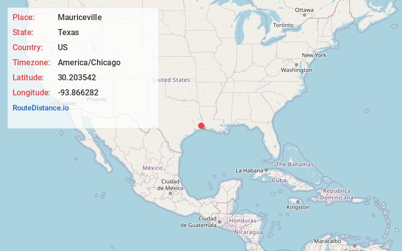
Full AddressMauriceville, TX 77632
-
Coordinates30.2035419, -93.8662819
-
LocationMauriceville , Texas , US
-
TimezoneAmerica/Chicago
-
Current Local Time2:49:25 AM America/ChicagoMonday, June 23, 2025
-
Page Views0
About Mauriceville
Mauriceville is a census-designated place in Orange County, Texas, United States. The population was 2,983 at the 2020 census. It is part of the Beaumont–Port Arthur Metropolitan Statistical Area.
Nearby Places
Found 10 places within 50 miles

Vidor
10.2 mi
16.4 km
Vidor, TX 77662
Get directions

West Orange
10.6 mi
17.1 km
West Orange, TX 77630
Get directions

Orange
10.9 mi
17.5 km
Orange, TX
Get directions

Bridge City
12.7 mi
20.4 km
Bridge City, TX
Get directions

Port Neches
15.7 mi
25.3 km
Port Neches, TX
Get directions
Central Gardens
16.9 mi
27.2 km
Central Gardens, TX
Get directions

Vinton
17.0 mi
27.4 km
Vinton, LA 70668
Get directions

Nederland
17.5 mi
28.2 km
Nederland, TX
Get directions

Beaumont
17.7 mi
28.5 km
Beaumont, TX
Get directions

Groves
17.9 mi
28.8 km
Groves, TX 77619
Get directions
Location Links
Local Weather
Weather Information
Coming soon!
Location Map
Static map view of Mauriceville, Texas
Browse Places by Distance
Places within specific distances from Mauriceville
Short Distances
Long Distances
Click any distance to see all places within that range from Mauriceville. Distances shown in miles (1 mile ≈ 1.61 kilometers).