Distance to Maury, North Carolina

Calculating Your Route
Just a moment while we process your request...
Location Information
-
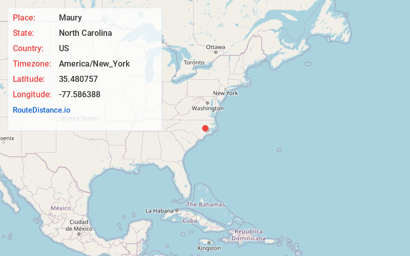
Full AddressMaury, NC
-
Coordinates35.4807569, -77.5863875
-
LocationMaury , North Carolina , US
-
TimezoneAmerica/New_York
-
Current Local Time3:31:39 AM America/New_YorkWednesday, June 18, 2025
-
Page Views0
About Maury
Maury is an unincorporated community and census-designated place in Greene County, North Carolina, United States. Its population was 1,685 as of the 2010 census. Maury has a post office with ZIP code 28554. North Carolina Highway 123 and North Carolina Highway 903 intersect in the community.
Nearby Places
Found 10 places within 50 miles

Snow Hill
5.7 mi
9.2 km
Snow Hill, NC 28580
Get directions

Farmville
7.9 mi
12.7 km
Farmville, NC 27828
Get directions

Ayden
9.6 mi
15.4 km
Ayden, NC 28513
Get directions

Winterville
10.9 mi
17.5 km
Winterville, NC
Get directions

Grifton
11.2 mi
18.0 km
Grifton, NC
Get directions

Greenville
14.9 mi
24.0 km
Greenville, NC
Get directions

Kinston
15.1 mi
24.3 km
Kinston, NC
Get directions

La Grange
16.5 mi
26.6 km
La Grange, NC 28551
Get directions

Walnut Creek
19.8 mi
31.9 km
Walnut Creek, NC
Get directions
Elroy
20.5 mi
33.0 km
Elroy, NC
Get directions
Location Links
Local Weather
Weather Information
Coming soon!
Location Map
Static map view of Maury, North Carolina
Browse Places by Distance
Places within specific distances from Maury
Short Distances
Long Distances
Click any distance to see all places within that range from Maury. Distances shown in miles (1 mile ≈ 1.61 kilometers).