Distance to Maxatawny, Pennsylvania

Calculating Your Route
Just a moment while we process your request...
Location Information
-
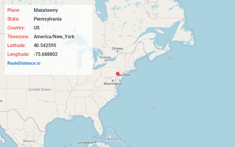
Full AddressMaxatawny, PA
-
Coordinates40.5425952, -75.6888017
-
LocationMaxatawny , Pennsylvania , US
-
TimezoneAmerica/New_York
-
Current Local Time4:46:55 PM America/New_YorkTuesday, July 1, 2025
-
Page Views0
About Maxatawny
Maxatawny is an unincorporated community and census-designated place located on U.S. Route 222 in Maxatawny Township, Berks County, Pennsylvania, United States, five miles east of Kutztown. It is in the Lehigh watershed and Schaefer Run flows through it to the Little Lehigh Creek.
Nearby Places
Found 10 places within 50 miles

Breinigsville
3.0 mi
4.8 km
Breinigsville, PA 18031
Get directions

Upper Macungie Township
3.5 mi
5.6 km
Upper Macungie Township, PA
Get directions

Ancient Oaks
5.5 mi
8.9 km
Ancient Oaks, PA 18062
Get directions

Lower Macungie Township
6.6 mi
10.6 km
Lower Macungie Township, PA
Get directions

Wescosville
7.3 mi
11.7 km
Wescosville, PA
Get directions
South Whitehall Township
9.4 mi
15.1 km
South Whitehall Township, PA
Get directions
Upper Milford Township
9.6 mi
15.4 km
Upper Milford Township, PA
Get directions

Lehigh County
9.7 mi
15.6 km
Lehigh County, PA
Get directions

Emmaus
10.1 mi
16.3 km
Emmaus, PA 18049
Get directions

North Whitehall Township
11.1 mi
17.9 km
North Whitehall Township, PA
Get directions
Location Links
Local Weather
Weather Information
Coming soon!
Location Map
Static map view of Maxatawny, Pennsylvania
Browse Places by Distance
Places within specific distances from Maxatawny
Short Distances
Long Distances
Click any distance to see all places within that range from Maxatawny. Distances shown in miles (1 mile ≈ 1.61 kilometers).