Distance to Maxville, Indiana

Calculating Your Route
Just a moment while we process your request...
Location Information
-
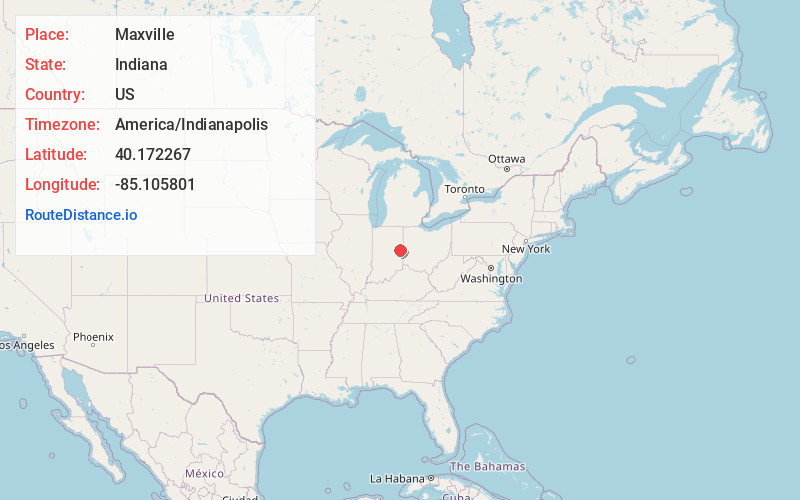
Full AddressMaxville, IN 47340
-
Coordinates40.1722665, -85.1058006
-
LocationMaxville , Indiana , US
-
TimezoneAmerica/Indianapolis
-
Page Views0
Nearby Places
Found 10 places within 50 miles

Farmland
1.6 mi
2.6 km
Farmland, IN 47340
Get directions

Mull
3.0 mi
4.8 km
Mull, White River Township, IN 47394
Get directions
Parker City
5.3 mi
8.5 km
Parker City, IN 47368
Get directions

Winchester
6.6 mi
10.6 km
Winchester, IN 47394
Get directions
Modoc
8.8 mi
14.2 km
Modoc, IN 47358
Get directions

Selma
9.0 mi
14.5 km
Selma, IN
Get directions

Ridgeville
9.0 mi
14.5 km
Ridgeville, IN 47380
Get directions
Snow Hill
9.4 mi
15.1 km
Snow Hill, IN 47394
Get directions
Blountsville
10.5 mi
16.9 km
Blountsville, IN 47354
Get directions
Saratoga
10.9 mi
17.5 km
Saratoga, IN
Get directions
Location Links
Local Weather
Weather Information
Coming soon!
Location Map
Static map view of Maxville, Indiana
Browse Places by Distance
Places within specific distances from Maxville
Short Distances
Long Distances
Click any distance to see all places within that range from Maxville. Distances shown in miles (1 mile ≈ 1.61 kilometers).