Distance to Maxville, Wisconsin

Calculating Your Route
Just a moment while we process your request...
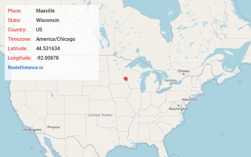
Location Information
-
Full AddressMaxville, WI 54736
-
Coordinates44.5316339, -92.0087798
-
LocationMaxville , Wisconsin , US
-
TimezoneAmerica/Chicago
-
Current Local Time5:01:02 AM America/ChicagoThursday, June 19, 2025
-
Page Views0
About Maxville
Maxville is a town in Buffalo County in the U.S. state of Wisconsin. The population was 309 at the 2010 census. The unincorporated community of Maxville, and ghost town of Savoy, are located in the town.


Nearby Places
Found 10 places within 50 miles

Misha Mokwa
2.4 mi
3.9 km
Misha Mokwa, Nelson, WI 54756
Get directions
Urne
6.2 mi
10.0 km
Urne, Modena, WI 54756
Get directions
Porcupine Creek
6.4 mi
10.3 km
Porcupine Creek, Wisconsin
Get directions

Waterville
6.8 mi
10.9 km
Waterville, WI
Get directions

Durand
6.9 mi
11.1 km
Durand, WI 54736
Get directions

Arkansaw
7.1 mi
11.4 km
Arkansaw, WI
Get directions

Trevino
7.7 mi
12.4 km
Trevino, WI 54756
Get directions

Nelson
7.7 mi
12.4 km
Nelson, WI 54756
Get directions

Pepin
9.3 mi
15.0 km
Pepin, WI 54759
Get directions

Reads Landing
9.7 mi
15.6 km
Reads Landing, MN 55968
Get directions
Location Links
Local Weather
Weather Information
Coming soon!
Location Map
Static map view of Maxville, Wisconsin
Browse Places by Distance
Places within specific distances from Maxville
Short Distances
Long Distances
Click any distance to see all places within that range from Maxville. Distances shown in miles (1 mile ≈ 1.61 kilometers).