Distance to Maxwell, Iowa

Calculating Your Route
Just a moment while we process your request...
Location Information
-
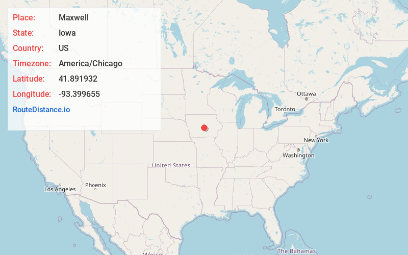
Full AddressMaxwell, IA 50161
-
Coordinates41.8919322, -93.3996546
-
LocationMaxwell , Iowa , US
-
TimezoneAmerica/Chicago
-
Current Local Time4:28:26 PM America/ChicagoWednesday, June 18, 2025
-
Page Views0
About Maxwell
Maxwell is a city in Story County, Iowa, United States. The population was 859 at the time of the 2020 census. It is part of the Ames, Iowa Metropolitan Statistical Area, which is a part of the larger Ames-Boone, Iowa Combined Statistical Area.

Nearby Places
Found 10 places within 50 miles

Cambridge
6.7 mi
10.8 km
Cambridge, IA 50046
Get directions

Nevada
9.4 mi
15.1 km
Nevada, IA 50201
Get directions

Colo
9.7 mi
15.6 km
Colo, IA 50056
Get directions

Huxley
10.3 mi
16.6 km
Huxley, IA
Get directions

Baxter
13.6 mi
21.9 km
Baxter, IA 50028
Get directions

Bondurant
13.6 mi
21.9 km
Bondurant, IA
Get directions

Slater
14.6 mi
23.5 km
Slater, IA
Get directions

State Center
14.9 mi
24.0 km
State Center, IA 50247
Get directions

Ankeny
15.1 mi
24.3 km
Ankeny, IA
Get directions

Ames
15.3 mi
24.6 km
Ames, IA
Get directions
Location Links
Local Weather
Weather Information
Coming soon!
Location Map
Static map view of Maxwell, Iowa
Browse Places by Distance
Places within specific distances from Maxwell
Short Distances
Long Distances
Click any distance to see all places within that range from Maxwell. Distances shown in miles (1 mile ≈ 1.61 kilometers).