Distance to Mayhew, Mississippi

Calculating Your Route
Just a moment while we process your request...
Location Information
-
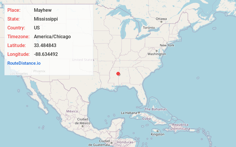
Full AddressMayhew, MS 39701
-
Coordinates33.4848427, -88.6344919
-
LocationMayhew , Mississippi , US
-
TimezoneAmerica/Chicago
-
Current Local Time11:31:21 PM America/ChicagoSaturday, June 21, 2025
-
Page Views0
About Mayhew
Mayhew is an unincorporated community in Lowndes County, Mississippi.
Mayhew is located west of Columbus, north of Artesia, east of Starkville and south of West Point. According to the United States Geological Survey, a variant name is Mayhew Station.
Nearby Places
Found 10 places within 50 miles

Artesia
4.8 mi
7.7 km
Artesia, MS
Get directions

West Point
8.5 mi
13.7 km
West Point, MS 39773
Get directions

Starkville
10.9 mi
17.5 km
Starkville, MS 39759
Get directions

Columbus
12.0 mi
19.3 km
Columbus, MS
Get directions
Whites
12.2 mi
19.6 km
Whites, MS 39773
Get directions
Siloam
12.7 mi
20.4 km
Siloam, MS 39773
Get directions
Crawford
12.7 mi
20.4 km
Crawford, MS 39743
Get directions
Vinton
13.6 mi
21.9 km
Vinton, MS 39773
Get directions
Trinity
13.8 mi
22.2 km
Trinity, MS 39743
Get directions

Columbus AFB
14.6 mi
23.5 km
Columbus AFB, MS
Get directions
Location Links
Local Weather
Weather Information
Coming soon!
Location Map
Static map view of Mayhew, Mississippi
Browse Places by Distance
Places within specific distances from Mayhew
Short Distances
Long Distances
Click any distance to see all places within that range from Mayhew. Distances shown in miles (1 mile ≈ 1.61 kilometers).