Distance to Maysville, West Virginia

Calculating Your Route
Just a moment while we process your request...
Location Information
-
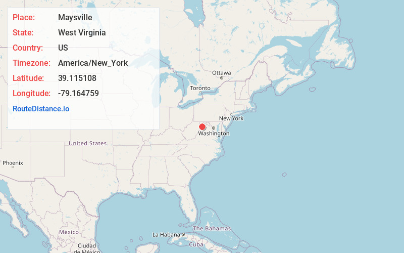
Full AddressMaysville, WV 26833
-
Coordinates39.1151075, -79.1647586
-
LocationMaysville , West Virginia , US
-
TimezoneAmerica/New_York
-
Current Local Time12:51:10 PM America/New_YorkSunday, June 15, 2025
-
Page Views0
About Maysville
The original county seat of Grant County, Maysville is an unincorporated community on North Fork Lunice Creek in Grant County, West Virginia, United States. The community lies at the eastern approach of Mays Gap in Knobly Mountain along West Virginia Route 42.
Nearby Places
Found 10 places within 50 miles

Kline Gap
4.1 mi
6.6 km
Kline Gap, West Virginia 26855
Get directions
Arthur
4.3 mi
6.9 km
Arthur, WV 26847
Get directions
Lahmansville
4.6 mi
7.4 km
Lahmansville, WV 26833
Get directions
Streby
4.7 mi
7.6 km
Streby, WV 26833
Get directions
Falls
4.8 mi
7.7 km
Falls, WV 26833
Get directions
Seymourville
5.0 mi
8.0 km
Seymourville, WV 26818
Get directions

Greenland Gap
5.2 mi
8.4 km
Greenland Gap, West Virginia 26833
Get directions
Scherr
5.4 mi
8.7 km
Scherr, WV 26833
Get directions
Medley
7.1 mi
11.4 km
Medley, WV 26833
Get directions

Jordan Run
7.6 mi
12.2 km
Jordan Run, WV 26855
Get directions
Location Links
Local Weather
Weather Information
Coming soon!
Location Map
Static map view of Maysville, West Virginia
Browse Places by Distance
Places within specific distances from Maysville
Short Distances
Long Distances
Click any distance to see all places within that range from Maysville. Distances shown in miles (1 mile ≈ 1.61 kilometers).