Distance to McAdenville, North Carolina

Calculating Your Route
Just a moment while we process your request...
Location Information
-
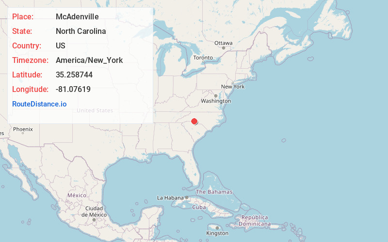
Full AddressMcAdenville, NC
-
Coordinates35.2587438, -81.0761901
-
LocationMcAdenville , North Carolina , US
-
TimezoneAmerica/New_York
-
Current Local Time5:31:32 AM America/New_YorkWednesday, June 18, 2025
-
Page Views0
About McAdenville
McAdenville is a small town in Gaston County, North Carolina, United States. It is a suburb of Gastonia and located east of Gastonia. The population was 890 at the 2020 census.


Nearby Places
Found 10 places within 50 miles

Lowell
1.5 mi
2.4 km
Lowell, NC
Get directions

Cramerton
1.7 mi
2.7 km
Cramerton, NC
Get directions

Belmont
2.4 mi
3.9 km
Belmont, NC
Get directions

Ranlo
3.6 mi
5.8 km
Ranlo, NC
Get directions

Mt Holly
4.2 mi
6.8 km
Mt Holly, NC
Get directions
Springdale
4.4 mi
7.1 km
Springdale, NC 28054
Get directions

Gastonia
6.3 mi
10.1 km
Gastonia, NC
Get directions

Stanley
6.6 mi
10.6 km
Stanley, NC
Get directions

Dallas
6.9 mi
11.1 km
Dallas, NC
Get directions

Lake Wylie
10.6 mi
17.1 km
Lake Wylie, SC
Get directions
Location Links
Local Weather
Weather Information
Coming soon!
Location Map
Static map view of McAdenville, North Carolina
Browse Places by Distance
Places within specific distances from McAdenville
Short Distances
Long Distances
Click any distance to see all places within that range from McAdenville. Distances shown in miles (1 mile ≈ 1.61 kilometers).