Distance to McClave, Colorado

Calculating Your Route
Just a moment while we process your request...
Location Information
-
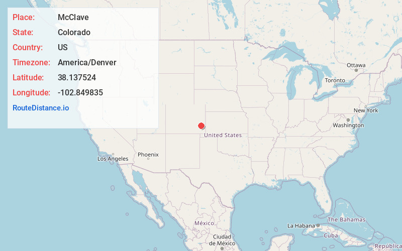
Full AddressMcClave, CO 81057
-
Coordinates38.1375236, -102.8498351
-
LocationMcClave , Colorado , US
-
TimezoneAmerica/Denver
-
Current Local Time12:42:33 PM America/DenverThursday, June 5, 2025
-
Page Views0
About McClave
McClave is an unincorporated community in Bent County, Colorado, United States. The population was 725 at the 2020 census.
Nearby Places
Found 10 places within 50 miles

Wiley
7.2 mi
11.6 km
Wiley, CO 81092
Get directions

Lamar
12.9 mi
20.8 km
Lamar, CO 81052
Get directions

Las Animas
20.9 mi
33.6 km
Las Animas, CO 81054
Get directions

Eads
24.0 mi
38.6 km
Eads, CO 81036
Get directions

Granada
29.8 mi
48.0 km
Granada, CO 81041
Get directions

Cheraw
36.0 mi
57.9 km
Cheraw, CO
Get directions
North La Junta
38.4 mi
61.8 km
North La Junta, CO 81050
Get directions

La Junta
39.2 mi
63.1 km
La Junta, CO 81050
Get directions

Holly
40.0 mi
64.4 km
Holly, CO 81047
Get directions

Swink
43.2 mi
69.5 km
Swink, CO
Get directions
Location Links
Local Weather
Weather Information
Coming soon!
Location Map
Static map view of McClave, Colorado
Browse Places by Distance
Places within specific distances from McClave
Short Distances
Long Distances
Click any distance to see all places within that range from McClave. Distances shown in miles (1 mile ≈ 1.61 kilometers).