Distance to McComber, Minnesota

Calculating Your Route
Just a moment while we process your request...
Location Information
-
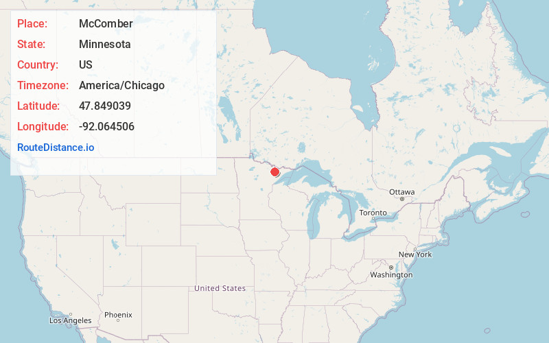
Full AddressMcComber, MN 55731
-
Coordinates47.8490385, -92.0645057
-
LocationMcComber , Minnesota , US
-
TimezoneAmerica/Chicago
-
Current Local Time3:52:14 PM America/ChicagoThursday, June 19, 2025
-
Page Views0
About McComber
McComber is an unincorporated community in Eagles Nest Township, Saint Louis County, Minnesota, United States.
The community is located between Tower and Ely on State Highway 1 and State Highway 169.
Bear Head Lake State Park is nearby.
Nearby Places
Found 10 places within 50 miles

Robinson
1.3 mi
2.1 km
Robinson, MN 55731
Get directions
Eagles Nest
1.6 mi
2.6 km
Eagles Nest, MN 55731
Get directions
Murray
5.8 mi
9.3 km
Murray, MN 55790
Get directions
Rothman
7.4 mi
11.9 km
Rothman, MN 55706
Get directions

Soudan
8.4 mi
13.5 km
Soudan, MN
Get directions

Ely
9.9 mi
15.9 km
Ely, MN 55731
Get directions

Tower
10.2 mi
16.4 km
Tower, MN 55790
Get directions

Babbitt
11.2 mi
18.0 km
Babbitt, MN
Get directions
Wahlsten
12.8 mi
20.6 km
Wahlsten, MN 55732
Get directions

Winton
13.3 mi
21.4 km
Winton, MN
Get directions
Location Links
Local Weather
Weather Information
Coming soon!
Location Map
Static map view of McComber, Minnesota
Browse Places by Distance
Places within specific distances from McComber
Short Distances
Long Distances
Click any distance to see all places within that range from McComber. Distances shown in miles (1 mile ≈ 1.61 kilometers).