Distance to McConnells, South Carolina

Calculating Your Route
Just a moment while we process your request...
Location Information
-
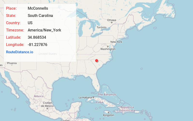
Full AddressMcConnells, SC 29726
-
Coordinates34.8685343, -81.2278757
-
LocationMcConnells , South Carolina , US
-
TimezoneAmerica/New_York
-
Current Local Time3:00:42 PM America/New_YorkTuesday, June 24, 2025
-
Page Views0
About McConnells
McConnells is a town in York County, South Carolina, United States and a suburb of York. The population was 255 at the 2010 census.
Nearby Places
Found 10 places within 50 miles

Sharon
8.6 mi
13.8 km
Sharon, SC 29742
Get directions

York
8.7 mi
14.0 km
York, SC 29745
Get directions

Eureka Mill
10.6 mi
17.1 km
Eureka Mill, SC 29706
Get directions

Newport
11.0 mi
17.7 km
Newport, SC
Get directions

Chester
11.3 mi
18.2 km
Chester, SC 29706
Get directions
Gayle Mill
11.5 mi
18.5 km
Gayle Mill, SC 29706
Get directions

Rock Hill
11.9 mi
19.2 km
Rock Hill, SC
Get directions
Hickory Grove
13.3 mi
21.4 km
Hickory Grove, SC 29717
Get directions

Lockhart
14.4 mi
23.2 km
Lockhart, SC
Get directions
India Hook
14.6 mi
23.5 km
India Hook, SC 29732
Get directions
Location Links
Local Weather
Weather Information
Coming soon!
Location Map
Static map view of McConnells, South Carolina
Browse Places by Distance
Places within specific distances from McConnells
Short Distances
Long Distances
Click any distance to see all places within that range from McConnells. Distances shown in miles (1 mile ≈ 1.61 kilometers).