Distance to McDonald, Arkansas

Calculating Your Route
Just a moment while we process your request...
Location Information
-
Full AddressMcDonald, AR 72373
-
Coordinates35.2700874, -90.6020516
-
LocationArkansas , US
-
TimezoneAmerica/Chicago
-
Current Local Time4:42:44 AM America/ChicagoWednesday, June 25, 2025
-
Page Views0
Nearby Places
Found 10 places within 50 miles

Parkin
2.6 mi
4.2 km
Parkin, AR 72373
Get directions

Earle
7.7 mi
12.4 km
Earle, AR 72331
Get directions

Cloar
8.6 mi
13.8 km
Cloar, AR 72331
Get directions
Twist
9.1 mi
14.6 km
Twist, AR 72331
Get directions
Vanndale
10.1 mi
16.3 km
Vanndale, AR
Get directions

Wynne
10.9 mi
17.5 km
Wynne, AR 72396
Get directions
Shell Lake
11.6 mi
18.7 km
Shell Lake, AR 72346
Get directions
Cherry Valley
12.5 mi
20.1 km
Cherry Valley, AR 72324
Get directions
Jennette
13.4 mi
21.6 km
Jennette, AR
Get directions
Stewart
14.4 mi
23.2 km
Stewart, AR 72472
Get directions
Location Links
Local Weather
Weather Information
Coming soon!
Location Map
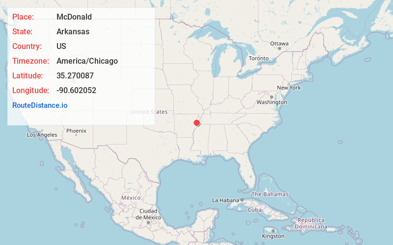
Static map view of McDonald, Arkansas
Browse Places by Distance
Places within specific distances from McDonald
Short Distances
Long Distances
Click any distance to see all places within that range from McDonald. Distances shown in miles (1 mile ≈ 1.61 kilometers).