Distance to McGowan, Washington

Calculating Your Route
Just a moment while we process your request...
Location Information
-
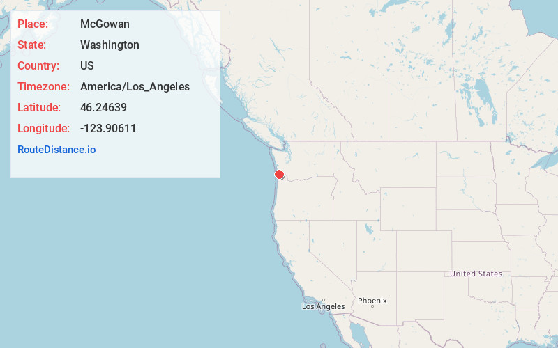
Full AddressMcGowan, WA 98614
-
Coordinates46.24639, -123.9061099
-
LocationMcGowan , Washington , US
-
TimezoneAmerica/Los_Angeles
-
Current Local Time12:59:29 PM America/Los_AngelesWednesday, June 25, 2025
-
Page Views0
About McGowan
McGowan was a stop on the Ilwaco Railway and Navigation Company's narrow gauge line that ran on the Long Beach Peninsula in Pacific County, Washington, United States from 1889 to 1930.
Nearby Places
Found 10 places within 50 miles

Chinook
2.6 mi
4.2 km
Chinook, WA 98614
Get directions

Knappton
4.8 mi
7.7 km
Knappton, WA 98638
Get directions

Astoria
5.4 mi
8.7 km
Astoria, OR 97103
Get directions

Warrenton
5.7 mi
9.2 km
Warrenton, OR
Get directions

Jeffers Gardens
7.1 mi
11.4 km
Jeffers Gardens, OR 97103
Get directions

Tongue Point
7.5 mi
12.1 km
Tongue Point, Oregon 97103
Get directions

Ilwaco
7.8 mi
12.6 km
Ilwaco, WA 98624
Get directions

Naselle
9.4 mi
15.1 km
Naselle, WA 98638
Get directions

Fern Hill
9.9 mi
15.9 km
Fern Hill, OR 97103
Get directions

Sunset Beach
10.1 mi
16.3 km
Sunset Beach, OR 97146
Get directions
Location Links
Local Weather
Weather Information
Coming soon!
Location Map
Static map view of McGowan, Washington
Browse Places by Distance
Places within specific distances from McGowan
Short Distances
Long Distances
Click any distance to see all places within that range from McGowan. Distances shown in miles (1 mile ≈ 1.61 kilometers).