Distance to McGrady, North Carolina

Calculating Your Route
Just a moment while we process your request...
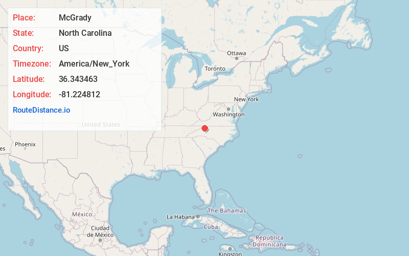
Location Information
-
Full AddressMcGrady, NC 28649
-
Coordinates36.3434632, -81.2248121
-
LocationMcGrady , North Carolina , US
-
TimezoneAmerica/New_York
-
Current Local Time11:05:57 AM America/New_YorkTuesday, June 24, 2025
-
Page Views0
About McGrady
McGrady is an unincorporated community in Wilkes County, North Carolina, United States. As of 2015, the population was 993. McGrady is located along North Carolina Highway 18, 14 miles north-northwest of Wilkesboro. McGrady has a post office with ZIP code 28649.

Nearby Places
Found 10 places within 50 miles

Vannoy
3.4 mi
5.5 km
Vannoy, NC 28651
Get directions
Halls Mills
3.6 mi
5.8 km
Halls Mills, NC 28649
Get directions

Laurel Springs
5.2 mi
8.4 km
Laurel Springs, NC 28644
Get directions
Dehart
5.8 mi
9.3 km
Dehart, NC 28635
Get directions
Transou
5.9 mi
9.5 km
Transou, NC 28644
Get directions
Middle Fork Reddies River
6.3 mi
10.1 km
Middle Fork Reddies River, North Carolina 28651
Get directions
Abshers
6.6 mi
10.6 km
Abshers, NC 28635
Get directions
Ore Knob
7.0 mi
11.3 km
Ore Knob, NC 28644
Get directions
Moxley
7.5 mi
12.1 km
Moxley, NC 28685
Get directions
Mulberry
7.6 mi
12.2 km
Mulberry, NC 28659
Get directions
Location Links
Local Weather
Weather Information
Coming soon!
Location Map
Static map view of McGrady, North Carolina
Browse Places by Distance
Places within specific distances from McGrady
Short Distances
Long Distances
Click any distance to see all places within that range from McGrady. Distances shown in miles (1 mile ≈ 1.61 kilometers).