Distance to McKinney, Texas

Calculating Your Route
Just a moment while we process your request...
Location Information
-
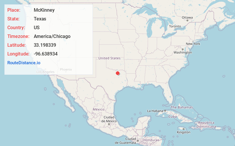
Full AddressMcKinney, TX
-
Coordinates33.1983388, -96.6389342
-
LocationMcKinney , Texas , US
-
TimezoneAmerica/Chicago
-
Current Local Time9:38:19 PM America/ChicagoSunday, June 1, 2025
-
Website
-
Page Views0
About McKinney
McKinney is a city in and the county seat of Collin County, Texas, United States. It is Collin County's third-largest city, after Plano and Frisco. A suburb of the Dallas–Fort Worth metroplex, McKinney is about 32 miles north of Dallas.


Nearby Places
Found 8 places within 50 miles

Plano
12.7 mi
20.4 km
Plano, TX
Get directions

Garland
19.7 mi
31.7 km
Garland, TX
Get directions

Lewisville
23.1 mi
37.2 km
Lewisville, TX
Get directions

Denton
28.6 mi
46.0 km
Denton, TX
Get directions

Dallas
30.5 mi
49.1 km
Dallas, TX
Get directions

Irving
32.3 mi
52.0 km
Irving, TX
Get directions

Grand Prairie
37.5 mi
60.4 km
Grand Prairie, TX
Get directions

Arlington
42.0 mi
67.6 km
Arlington, TX
Get directions
Location Links
Local Weather
Weather Information
Coming soon!
Location Map
Static map view of McKinney, Texas
Browse Places by Distance
Places within specific distances from McKinney
Short Distances
Long Distances
Click any distance to see all places within that range from McKinney. Distances shown in miles (1 mile ≈ 1.61 kilometers).