Distance to McKinnon, Tennessee

Calculating Your Route
Just a moment while we process your request...
Location Information
-
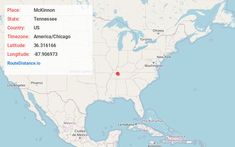
Full AddressMcKinnon, TN 37175
-
Coordinates36.3161662, -87.9069729
-
LocationTennessee , US
-
TimezoneAmerica/Chicago
-
Current Local Time4:02:48 AM America/ChicagoTuesday, July 1, 2025
-
Page Views0
About McKinnon
McKinnon is an unincorporated community in Houston County, Tennessee, United States. McKinnon is located at the junction of Tennessee State Route 147 and Tennessee State Route 232, 7.5 miles west of Tennessee Ridge.
Nearby Places
Found 10 places within 50 miles

Bass Bay
4.5 mi
7.2 km
Bass Bay, TN 38221
Get directions
Magnolia
4.7 mi
7.6 km
Magnolia, TN 37175
Get directions
Mule Hollow
5.1 mi
8.2 km
Mule Hollow, Tennessee 37175
Get directions
Lick Creek
6.4 mi
10.3 km
Lick Creek, TN 38221
Get directions

Tennessee Ridge
7.4 mi
11.9 km
Tennessee Ridge, TN
Get directions
Halls Creek
9.9 mi
15.9 km
Halls Creek, Tennessee 37185
Get directions
Carlisle
11.2 mi
18.0 km
Carlisle, TN 37058
Get directions

Big Sandy
11.4 mi
18.3 km
Big Sandy, TN 38221
Get directions

Erin
11.8 mi
19.0 km
Erin, TN 37061
Get directions
Moons
12.4 mi
20.0 km
Moons, TN 38256
Get directions
Location Links
Local Weather
Weather Information
Coming soon!
Location Map
Static map view of McKinnon, Tennessee
Browse Places by Distance
Places within specific distances from McKinnon
Short Distances
Long Distances
Click any distance to see all places within that range from McKinnon. Distances shown in miles (1 mile ≈ 1.61 kilometers).