Distance to McLains, Kansas

Calculating Your Route
Just a moment while we process your request...
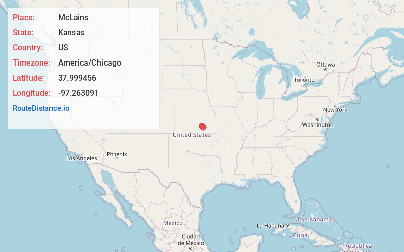
Location Information
-
Full AddressMcLains, KS 67114
-
Coordinates37.9994558, -97.2630907
-
LocationMcLains , Kansas , US
-
TimezoneAmerica/Chicago
-
Current Local Time12:05:33 PM America/ChicagoMonday, June 16, 2025
-
Page Views0
About McLains
McLain is an unincorporated community in Harvey County, Kansas, United States. Various maps and documents have listed the name as McLain, McLains, McLain's, and McClain. It is located a few miles southeast of Newton at the intersection of SE 36th St and S Woodlawn Rd.
Nearby Places
Found 10 places within 50 miles

Newton
5.5 mi
8.9 km
Newton, KS
Get directions

McGraw
5.8 mi
9.3 km
McGraw, Newton Township, KS 67114
Get directions

Whitewater
6.7 mi
10.8 km
Whitewater, KS 67154
Get directions

North Newton
6.7 mi
10.8 km
North Newton, KS
Get directions
Putnam
7.1 mi
11.4 km
Putnam, Sedgwick Township, KS 67135
Get directions

Walton
8.2 mi
13.2 km
Walton, KS
Get directions

Elbing
8.2 mi
13.2 km
Elbing, KS
Get directions
Van Arsdale
8.9 mi
14.3 km
Van Arsdale, Sedgwick Township, KS 67114
Get directions
Sedgwick
10.6 mi
17.1 km
Sedgwick, KS 67135
Get directions

Valley Center
13.0 mi
20.9 km
Valley Center, KS
Get directions
Location Links
Local Weather
Weather Information
Coming soon!
Location Map
Static map view of McLains, Kansas
Browse Places by Distance
Places within specific distances from McLains
Short Distances
Long Distances
Click any distance to see all places within that range from McLains. Distances shown in miles (1 mile ≈ 1.61 kilometers).