Distance to McNairy County, Tennessee

Calculating Your Route
Just a moment while we process your request...
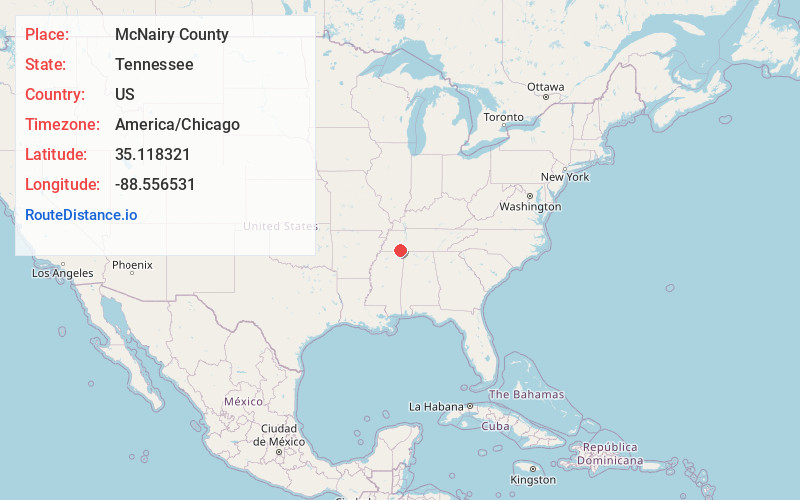
Location Information
-
Full AddressMcNairy County, TN
-
Coordinates35.1183208, -88.556531
-
LocationTennessee , US
-
TimezoneAmerica/Chicago
-
Current Local Time7:59:22 PM America/ChicagoMonday, June 2, 2025
-
Page Views0
About McNairy County
McNairy County is a county located in the U.S. state of Tennessee. As of the 2020 census, the population was 25,866. The county seat and largest city is Selmer. McNairy County is located along Tennessee's border with the state of Mississippi.

Nearby Places
Found 10 places within 50 miles

Eastview
3.0 mi
4.8 km
Eastview, TN
Get directions
Falcon
3.1 mi
5.0 km
Falcon, TN 38375
Get directions
Selmer
4.1 mi
6.6 km
Selmer, TN 38375
Get directions

Ramer
5.0 mi
8.0 km
Ramer, TN 38367
Get directions

Guys
5.8 mi
9.3 km
Guys, TN
Get directions
Pebble Hill
7.5 mi
12.1 km
Pebble Hill, TN 38357
Get directions
Stantonville
7.9 mi
12.7 km
Stantonville, TN 38379
Get directions
Michie
8.1 mi
13.0 km
Michie, TN 38357
Get directions
Old Lawton
8.2 mi
13.2 km
Old Lawton, TN 38375
Get directions

Bethel Springs
8.5 mi
13.7 km
Bethel Springs, TN 38315
Get directions
Location Links
Local Weather
Weather Information
Coming soon!
Location Map
Static map view of McNairy County, Tennessee
Browse Places by Distance
Places within specific distances from McNairy County
Short Distances
Long Distances
Click any distance to see all places within that range from McNairy County. Distances shown in miles (1 mile ≈ 1.61 kilometers).