Distance to McQueeney, Texas

Calculating Your Route
Just a moment while we process your request...
Location Information
-
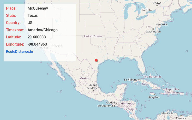
Full AddressMcQueeney, TX
-
Coordinates29.6000331, -98.0449628
-
LocationMcQueeney , Texas , US
-
TimezoneAmerica/Chicago
-
Current Local Time5:41:27 AM America/ChicagoFriday, June 20, 2025
-
Page Views0
About McQueeney
McQueeney is an unincorporated community and census-designated place in Guadalupe County, Texas, United States. The population was 2,397 at the 2020 census. It is part of the San Antonio Metropolitan Statistical Area.


Nearby Places
Found 10 places within 50 miles

Seguin
5.3 mi
8.5 km
Seguin, TX 78155
Get directions

New Braunfels
8.5 mi
13.7 km
New Braunfels, TX
Get directions

Cibolo
11.2 mi
18.0 km
Cibolo, TX
Get directions

Schertz
13.6 mi
21.9 km
Schertz, TX
Get directions

Garden Ridge
15.6 mi
25.1 km
Garden Ridge, TX
Get directions
Redwood
16.6 mi
26.7 km
Redwood, TX 78666
Get directions

San Marcos
20.5 mi
33.0 km
San Marcos, TX
Get directions

Canyon Lake
23.1 mi
37.2 km
Canyon Lake, TX
Get directions

Luling
24.5 mi
39.4 km
Luling, TX 78648
Get directions

Bulverde
26.5 mi
42.6 km
Bulverde, TX
Get directions
Location Links
Local Weather
Weather Information
Coming soon!
Location Map
Static map view of McQueeney, Texas
Browse Places by Distance
Places within specific distances from McQueeney
Short Distances
Long Distances
Click any distance to see all places within that range from McQueeney. Distances shown in miles (1 mile ≈ 1.61 kilometers).