Distance to Mead, West Virginia

Calculating Your Route
Just a moment while we process your request...
Location Information
-
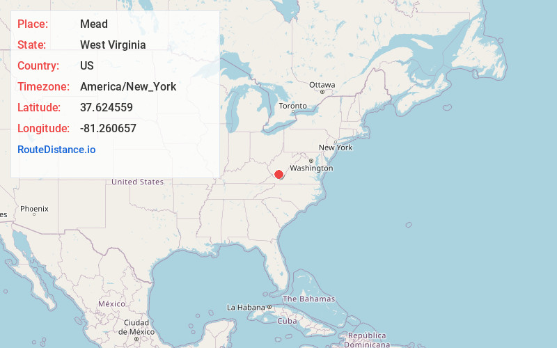
Full AddressMead, WV 25915
-
Coordinates37.6245593, -81.2606566
-
LocationMead , West Virginia , US
-
TimezoneAmerica/New_York
-
Current Local Time5:03:10 AM America/New_YorkSaturday, May 31, 2025
-
Page Views0
About Mead
Mead is an unincorporated community in Raleigh County, West Virginia, United States. Mead is located on County Route 33 and Stonecoal Creek, 2.7 miles east-northeast of Rhodell. Mead had a post office, which closed on June 10, 1989. It was also known as Vanwood.
The community was named after C. H.
Nearby Places
Found 10 places within 50 miles

Rhodell
2.7 mi
4.3 km
Rhodell, WV 25915
Get directions
Helen
3.0 mi
4.8 km
Helen, WV
Get directions

Coal City
4.7 mi
7.6 km
Coal City, WV
Get directions

Sophia
5.8 mi
9.3 km
Sophia, WV
Get directions
Corinne
6.4 mi
10.3 km
Corinne, WV
Get directions

Mullens
7.2 mi
11.6 km
Mullens, WV 25882
Get directions
Glen White
7.4 mi
11.9 km
Glen White, WV
Get directions

Lester
7.9 mi
12.7 km
Lester, WV
Get directions

Ghent
8.0 mi
12.9 km
Ghent, WV 25843
Get directions
Crab Orchard
8.2 mi
13.2 km
Crab Orchard, WV
Get directions
Location Links
Local Weather
Weather Information
Coming soon!
Location Map
Static map view of Mead, West Virginia
Browse Places by Distance
Places within specific distances from Mead
Short Distances
Long Distances
Click any distance to see all places within that range from Mead. Distances shown in miles (1 mile ≈ 1.61 kilometers).