Distance to Meadow Vale, Kentucky

Calculating Your Route
Just a moment while we process your request...
Location Information
-
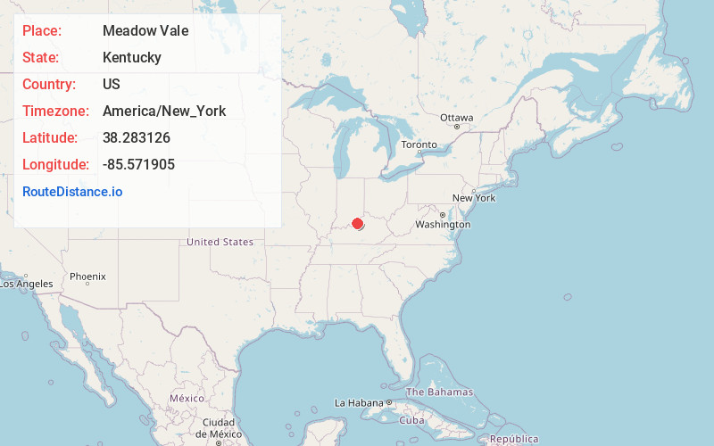
Full AddressMeadow Vale, KY
-
Coordinates38.2831257, -85.571905
-
LocationMeadow Vale , Kentucky , US
-
TimezoneAmerica/New_York
-
Current Local Time3:42:15 PM America/New_YorkFriday, June 20, 2025
-
Page Views0
About Meadow Vale
Meadow Vale is a home rule-class city in Jefferson County, Kentucky, United States. As of the 2010 census the population was 736.
Nearby Places
Found 10 places within 50 miles

Rolling Hills
0.3 mi
0.5 km
Rolling Hills, KY 40242
Get directions
Langdon Place
0.8 mi
1.3 km
Langdon Place, KY
Get directions
Barbourmeade
2.0 mi
3.2 km
Barbourmeade, KY
Get directions

Anchorage
2.4 mi
3.9 km
Anchorage, KY 40223
Get directions
Bellemeade
2.4 mi
3.9 km
Bellemeade, KY
Get directions
Lyndon
2.4 mi
3.9 km
Lyndon, KY
Get directions
Graymoor-Devondale
2.9 mi
4.7 km
Graymoor-Devondale, KY 40222
Get directions
Worthington Hills
3.0 mi
4.8 km
Worthington Hills, KY 40245
Get directions

Middletown
3.2 mi
5.1 km
Middletown, KY
Get directions

Hurstbourne
3.2 mi
5.1 km
Hurstbourne, KY 40222
Get directions
Location Links
Local Weather
Weather Information
Coming soon!
Location Map
Static map view of Meadow Vale, Kentucky
Browse Places by Distance
Places within specific distances from Meadow Vale
Short Distances
Long Distances
Click any distance to see all places within that range from Meadow Vale. Distances shown in miles (1 mile ≈ 1.61 kilometers).