Distance to Medora, North Dakota

Calculating Your Route
Just a moment while we process your request...
Location Information
-
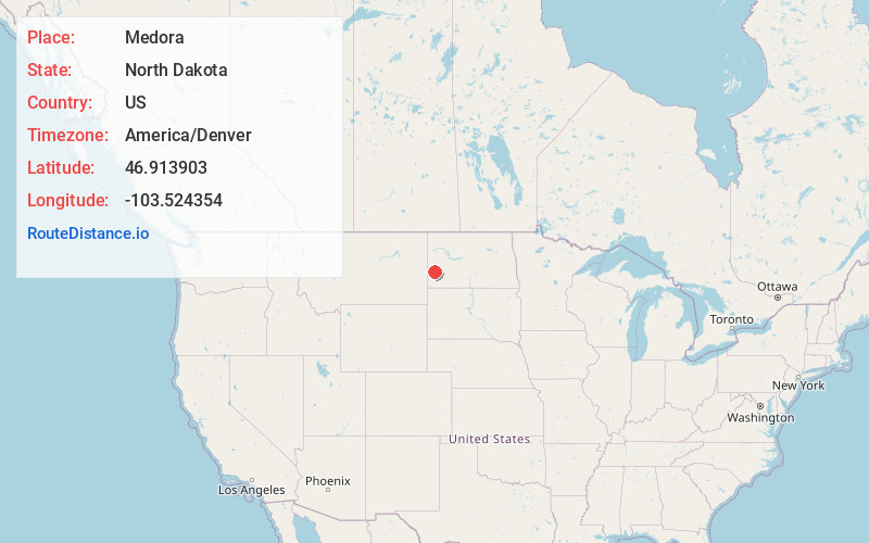
Full AddressMedora, ND 58645
-
Coordinates46.9139028, -103.5243536
-
LocationMedora , North Dakota , US
-
TimezoneAmerica/Denver
-
Current Local Time4:25:23 AM America/DenverSunday, June 15, 2025
-
Page Views0
About Medora
Medora is a city in Billings County, North Dakota, United States. The only incorporated place in Billings County, it is also the county seat. Much of the surrounding area is part of either Little Missouri National Grassland or Theodore Roosevelt National Park. The population was 121 at the 2020 census.


Nearby Places
Found 8 places within 50 miles

Belfield
15.5 mi
24.9 km
Belfield, ND 58622
Get directions

Beach
22.7 mi
36.5 km
Beach, ND 58621
Get directions

South Heart
25.4 mi
40.9 km
South Heart, ND
Get directions

Wibaux
31.7 mi
51.0 km
Wibaux, MT 59353
Get directions

Dickinson
34.8 mi
56.0 km
Dickinson, ND 58601
Get directions

New England
40.5 mi
65.2 km
New England, ND 58647
Get directions

Gladstone
45.3 mi
72.9 km
Gladstone, ND 58630
Get directions
Rhame
47.5 mi
76.4 km
Rhame, ND 58651
Get directions
Location Links
Local Weather
Weather Information
Coming soon!
Location Map
Static map view of Medora, North Dakota
Browse Places by Distance
Places within specific distances from Medora
Short Distances
Long Distances
Click any distance to see all places within that range from Medora. Distances shown in miles (1 mile ≈ 1.61 kilometers).