Distance to Medulla, Florida

Calculating Your Route
Just a moment while we process your request...
Location Information
-
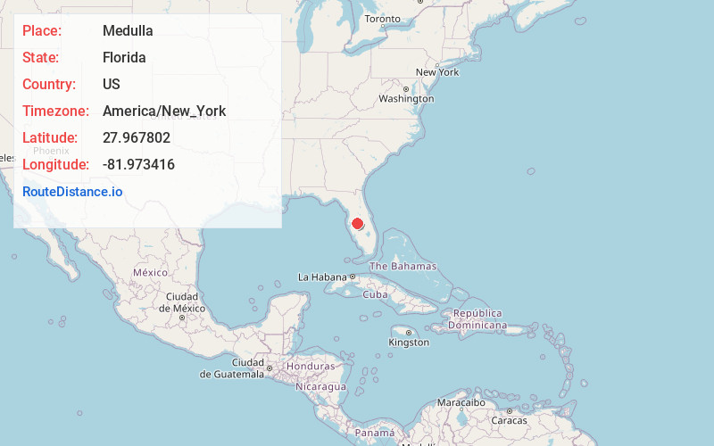
Full AddressMedulla, FL
-
Coordinates27.9678016, -81.9734164
-
LocationMedulla , Florida , US
-
TimezoneAmerica/New_York
-
Current Local Time6:06:54 AM America/New_YorkTuesday, June 10, 2025
-
Page Views0
About Medulla
Medulla is an unincorporated community and census-designated place in western Polk County, Florida, United States. It is part of the Lakeland–Winter Haven Metropolitan Statistical Area. Medulla is an affluent residential community located south of the Lakeland city limits, and north of the Mulberry city limits.
Nearby Places
Found 10 places within 50 miles

Lakeland
5.3 mi
8.5 km
Lakeland, FL
Get directions

Highland City
5.8 mi
9.3 km
Highland City, FL
Get directions

Plant City
9.2 mi
14.8 km
Plant City, FL
Get directions

Bartow
9.4 mi
15.1 km
Bartow, FL
Get directions

Auburndale
13.1 mi
21.1 km
Auburndale, FL
Get directions

Winter Haven
15.4 mi
24.8 km
Winter Haven, FL
Get directions

Valrico
16.5 mi
26.6 km
Valrico, FL
Get directions

Brandon
17.7 mi
28.5 km
Brandon, FL
Get directions

Bloomingdale
18.2 mi
29.3 km
Bloomingdale, FL
Get directions

Mango
20.3 mi
32.7 km
Mango, FL
Get directions
Location Links
Local Weather
Weather Information
Coming soon!
Location Map
Static map view of Medulla, Florida
Browse Places by Distance
Places within specific distances from Medulla
Short Distances
Long Distances
Click any distance to see all places within that range from Medulla. Distances shown in miles (1 mile ≈ 1.61 kilometers).