Distance to Meehan, Wisconsin

Calculating Your Route
Just a moment while we process your request...
Location Information
-
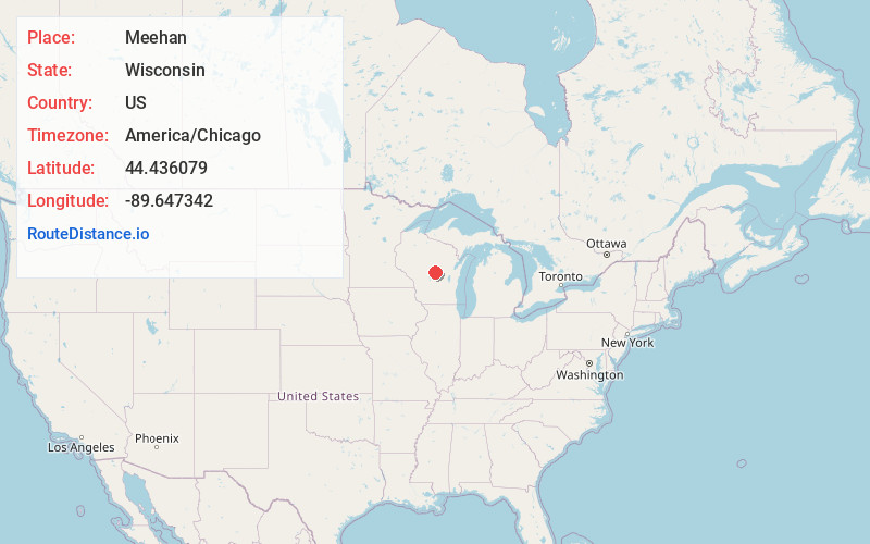
Full AddressMeehan, Plover, WI 54494
-
Coordinates44.4360788, -89.6473424
-
LocationPlover , Wisconsin , US
-
TimezoneAmerica/Chicago
-
Current Local Time1:38:55 AM America/ChicagoSunday, June 22, 2025
-
Page Views0
About Meehan
Meehan is an unincorporated community located in the town of Plover, Portage County, Wisconsin, United States. Meehan is located along Wisconsin Highway 54 and the Canadian National Railway 5.3 miles west-southwest of Plover.
Nearby Places
Found 10 places within 50 miles

Plover
4.1 mi
6.6 km
Plover, WI
Get directions

Whiting
5.9 mi
9.5 km
Whiting, WI
Get directions

Biron
6.6 mi
10.6 km
Biron, WI
Get directions

Lake Wazeecha
7.0 mi
11.3 km
Lake Wazeecha, WI 54494
Get directions

Stevens Point
7.0 mi
11.3 km
Stevens Point, WI
Get directions

Park Ridge
7.6 mi
12.2 km
Park Ridge, WI 54481
Get directions

Rudolph
8.9 mi
14.3 km
Rudolph, WI
Get directions

Wisconsin Rapids
9.1 mi
14.6 km
Wisconsin Rapids, WI
Get directions

Bancroft
11.0 mi
17.7 km
Bancroft, WI
Get directions
Junction City
12.2 mi
19.6 km
Junction City, WI 54443
Get directions
Location Links
Local Weather
Weather Information
Coming soon!
Location Map
Static map view of Meehan, Wisconsin
Browse Places by Distance
Places within specific distances from Meehan
Short Distances
Long Distances
Click any distance to see all places within that range from Meehan. Distances shown in miles (1 mile ≈ 1.61 kilometers).