Distance to Megargel, Texas

Calculating Your Route
Just a moment while we process your request...
Location Information
-
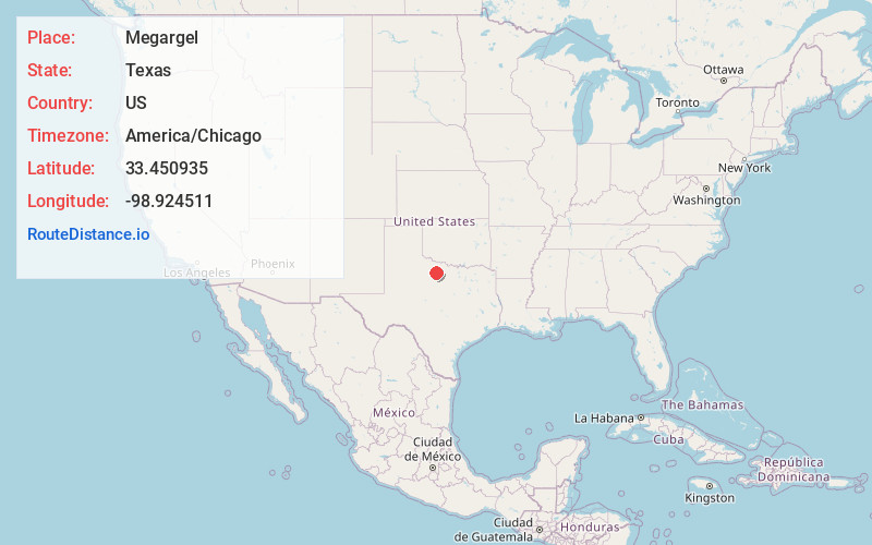
Full AddressMegargel, TX 76370
-
Coordinates33.4509353, -98.924511
-
LocationMegargel , Texas , US
-
TimezoneAmerica/Chicago
-
Current Local Time8:27:07 PM America/ChicagoSunday, June 22, 2025
-
Page Views0
About Megargel
Megargel is a town in Archer County, Texas, United States. It is part of the Wichita Falls, Texas metropolitan statistical area. Its population was 174 at the 2020 census. The town is named for Roy C. Megargel, the president of the railroad that developed the town.


Nearby Places
Found 10 places within 50 miles

Olney
11.3 mi
18.2 km
Olney, TX 76374
Get directions

Archer City
19.9 mi
32.0 km
Archer City, TX
Get directions

Newcastle
20.7 mi
33.3 km
Newcastle, TX 76372
Get directions

Seymour
21.7 mi
34.9 km
Seymour, TX 76380
Get directions

Throckmorton
23.8 mi
38.3 km
Throckmorton, TX 76483
Get directions

Holliday
28.5 mi
45.9 km
Holliday, TX
Get directions

Windthorst
29.4 mi
47.3 km
Windthorst, TX 76389
Get directions

Scotland
29.9 mi
48.1 km
Scotland, TX 76379
Get directions

Graham
30.6 mi
49.2 km
Graham, TX 76450
Get directions
Woodson
31.1 mi
50.1 km
Woodson, TX 76491
Get directions
Location Links
Local Weather
Weather Information
Coming soon!
Location Map
Static map view of Megargel, Texas
Browse Places by Distance
Places within specific distances from Megargel
Short Distances
Long Distances
Click any distance to see all places within that range from Megargel. Distances shown in miles (1 mile ≈ 1.61 kilometers).