Distance to Melrose, New Mexico

Calculating Your Route
Just a moment while we process your request...
Location Information
-
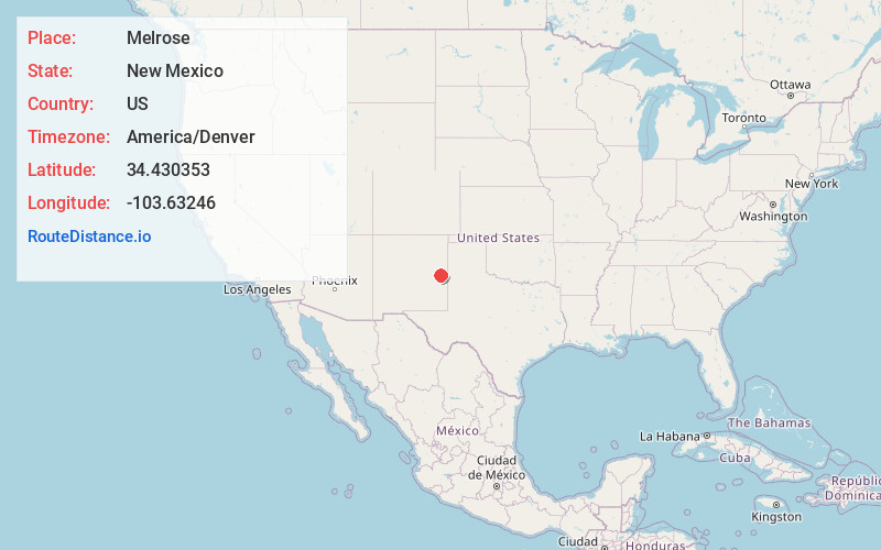
Full AddressMelrose, NM 88124
-
Coordinates34.4303525, -103.63246
-
LocationMelrose , New Mexico , US
-
TimezoneAmerica/Denver
-
Current Local Time1:26:54 AM America/DenverMonday, June 23, 2025
-
Page Views0
About Melrose
Melrose is a village in Curry County, New Mexico, United States. Its population was 622 at the 2020 census. The town is losing population due to rural exodus.


Nearby Places
Found 6 places within 50 miles

Cannon AFB
18.1 mi
29.1 km
Cannon AFB, NM
Get directions

Portales
24.0 mi
38.6 km
Portales, NM 88130
Get directions

Clovis
24.3 mi
39.1 km
Clovis, NM 88101
Get directions

Farwell
34.0 mi
54.7 km
Farwell, TX 79325
Get directions

Fort Sumner
35.0 mi
56.3 km
Fort Sumner, NM 88119
Get directions

Bovina
43.1 mi
69.4 km
Bovina, TX
Get directions
Location Links
Local Weather
Weather Information
Coming soon!
Location Map
Static map view of Melrose, New Mexico
Browse Places by Distance
Places within specific distances from Melrose
Short Distances
Long Distances
Click any distance to see all places within that range from Melrose. Distances shown in miles (1 mile ≈ 1.61 kilometers).