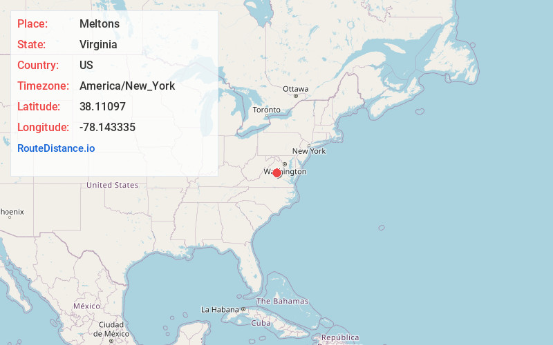
Distance to Meltons, Virginia

Calculating Your Route
Just a moment while we process your request...
Location Information
-
Full AddressMeltons, VA 22942
-
Coordinates38.1109699, -78.1433353
-
LocationVirginia , US
-
TimezoneAmerica/New_York
-
Current Local Time12:25:09 AM America/New_YorkFriday, June 20, 2025
-
Page Views0
Nearby Places
Found 10 places within 50 miles

Gordonsville
3.0 mi
4.8 km
Gordonsville, VA 22942
Get directions

Madison Run
6.0 mi
9.7 km
Madison Run, VA 22942
Get directions
Whitlock
6.3 mi
10.1 km
Whitlock, VA 22942
Get directions
Blue Ridge Shores
6.4 mi
10.3 km
Blue Ridge Shores, VA 23093
Get directions
Daniel
7.9 mi
12.7 km
Daniel, VA 22960
Get directions
Tibbstown
7.9 mi
12.7 km
Tibbstown, VA 22942
Get directions
Monrovia
8.4 mi
13.5 km
Monrovia, VA 22960
Get directions
Barboursville
8.6 mi
13.8 km
Barboursville, VA
Get directions
Byrd Mill
9.1 mi
14.6 km
Byrd Mill, VA 23093
Get directions

Orange
9.5 mi
15.3 km
Orange, VA 22960
Get directions
Location Links
Local Weather
Weather Information
Coming soon!
Location Map
Static map view of Meltons, Virginia
Browse Places by Distance
Places within specific distances from Meltons
Short Distances
Long Distances
Click any distance to see all places within that range from Meltons. Distances shown in miles (1 mile ≈ 1.61 kilometers).