Distance to Memaloose State Park, Oregon

Calculating Your Route
Just a moment while we process your request...
Location Information
-
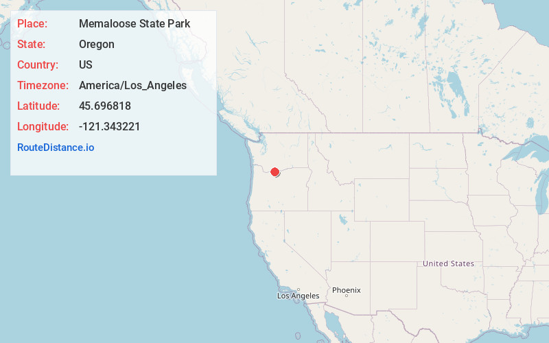
Full AddressMemaloose State Park, Mosier, OR 97040
-
Coordinates45.6968182, -121.3432207
-
LocationMosier , Oregon , US
-
TimezoneAmerica/Los_Angeles
-
Current Local Time2:01:43 PM America/Los_AngelesFriday, June 6, 2025
-
Page Views0
About Memaloose State Park
65-site campground overlooking the Columbia River with showers, picnic area & playground.


Nearby Places
Found 10 places within 50 miles

Straight Point
2.5 mi
4.0 km
Straight Point, WA 98605
Get directions

Lyle
2.8 mi
4.5 km
Lyle, WA 98635
Get directions

Mosier
2.8 mi
4.5 km
Mosier, OR 97040
Get directions
Ortley
3.9 mi
6.3 km
Ortley, OR 97058
Get directions

Rowena
4.0 mi
6.4 km
Rowena, OR 97058
Get directions
Laws Corner
5.6 mi
9.0 km
Laws Corner, WA 98672
Get directions
Klickitat Heights
6.0 mi
9.7 km
Klickitat Heights, WA 98635
Get directions

Bingen
6.1 mi
9.8 km
Bingen, WA
Get directions

Chenoweth
6.8 mi
10.9 km
Chenoweth, OR 97058
Get directions

White Salmon
7.2 mi
11.6 km
White Salmon, WA
Get directions
Location Links
Local Weather
Weather Information
Coming soon!
Location Map
Static map view of Memaloose State Park, Oregon
Browse Places by Distance
Places within specific distances from Memaloose State Park
Short Distances
Long Distances
Click any distance to see all places within that range from Memaloose State Park. Distances shown in miles (1 mile ≈ 1.61 kilometers).