Distance to Mendenhall Springs, California

Calculating Your Route
Just a moment while we process your request...
Location Information
-
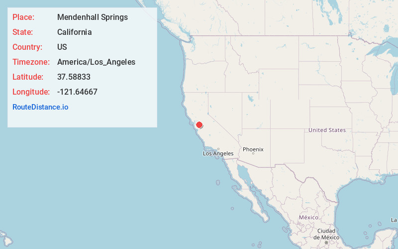
Full AddressMendenhall Springs, CA 94550
-
Coordinates37.58833, -121.64667
-
LocationMendenhall Springs , California , US
-
TimezoneAmerica/Los_Angeles
-
Current Local Time3:59:00 AM America/Los_AngelesWednesday, June 4, 2025
-
Page Views0
About Mendenhall Springs
Mendenhall Springs is a set of springs that was turned into a resort in Alameda County, California.
It is located 9 miles southeast of Livermore, at an elevation of 1818 feet.
Nearby Places
Found 10 places within 50 miles

Livermore
9.3 mi
15.0 km
Livermore, CA
Get directions

Altamont
10.8 mi
17.4 km
Altamont, CA 94551
Get directions

East Pleasanton
11.6 mi
18.7 km
East Pleasanton, CA 94566
Get directions
Radum
12.9 mi
20.8 km
Radum, Pleasanton, CA 94566
Get directions
Verona
13.1 mi
21.1 km
Verona, CA 94566
Get directions

Sunol
13.2 mi
21.2 km
Sunol, CA
Get directions

Pleasanton
13.5 mi
21.7 km
Pleasanton, CA
Get directions
Carbona
14.8 mi
23.8 km
Carbona, CA 95304
Get directions

Tracy
16.0 mi
25.7 km
Tracy, CA
Get directions
Farwell
16.4 mi
26.4 km
Farwell, CA 94552
Get directions
Location Links
Local Weather
Weather Information
Coming soon!
Location Map
Static map view of Mendenhall Springs, California
Browse Places by Distance
Places within specific distances from Mendenhall Springs
Short Distances
Long Distances
Click any distance to see all places within that range from Mendenhall Springs. Distances shown in miles (1 mile ≈ 1.61 kilometers).