Distance to Mendota, Illinois

Calculating Your Route
Just a moment while we process your request...
Location Information
-
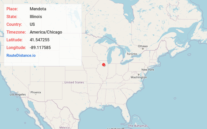
Full AddressMendota, IL 61342
-
Coordinates41.5472547, -89.1175851
-
LocationMendota , Illinois , US
-
TimezoneAmerica/Chicago
-
Current Local Time3:37:22 PM America/ChicagoSaturday, May 31, 2025
-
Website
-
Page Views0
About Mendota
Mendota is a city in LaSalle County, Illinois, United States, in the state's north-central region. The population was 7,061 at the 2020 census. It is part of the Ottawa, IL Micropolitan Statistical Area. Mendota is located approximately 85 miles west of Chicago, 70 miles east of Moline and 55 miles south of Rockford.


Nearby Places
Found 10 places within 50 miles

La Salle
13.4 mi
21.6 km
La Salle, IL
Get directions

Peru
15.2 mi
24.5 km
Peru, IL
Get directions

Ottawa
19.9 mi
32.0 km
Ottawa, IL
Get directions

Princeton
21.8 mi
35.1 km
Princeton, IL 61356
Get directions

Rochelle
26.1 mi
42.0 km
Rochelle, IL 61068
Get directions

Dixon
27.5 mi
44.3 km
Dixon, IL 61021
Get directions

Plano
31.0 mi
49.9 km
Plano, IL 60545
Get directions

DeKalb
32.5 mi
52.3 km
DeKalb, IL
Get directions

Streator
32.9 mi
52.9 km
Streator, IL 61364
Get directions

Rock Falls
33.6 mi
54.1 km
Rock Falls, IL 61071
Get directions
Location Links
Local Weather
Weather Information
Coming soon!
Location Map
Static map view of Mendota, Illinois
Browse Places by Distance
Places within specific distances from Mendota
Short Distances
Long Distances
Click any distance to see all places within that range from Mendota. Distances shown in miles (1 mile ≈ 1.61 kilometers).