Distance to Menlo, Washington

Calculating Your Route
Just a moment while we process your request...
Location Information
-
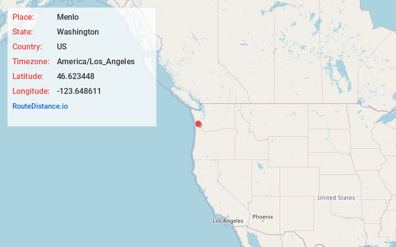
Full AddressMenlo, WA 98577
-
Coordinates46.6234482, -123.6486106
-
LocationMenlo , Washington , US
-
TimezoneAmerica/Los_Angeles
-
Current Local Time11:06:11 PM America/Los_AngelesWednesday, June 18, 2025
-
Page Views0
About Menlo
Menlo is a small unincorporated community in the Willapa Valley of Pacific County, Washington, United States. The community is home to a general store and post office, the Pacific County Fairgrounds and a secondary/high school, Willapa Valley High School.
Nearby Places
Found 10 places within 50 miles

Raymond
5.9 mi
9.5 km
Raymond, WA 98577
Get directions

Lebam
6.5 mi
10.5 km
Lebam, WA 98577
Get directions

South Bend
7.9 mi
12.7 km
South Bend, WA
Get directions

Elk Creek
10.0 mi
16.1 km
Elk Creek, WA 98577
Get directions

Bay Center
14.5 mi
23.3 km
Bay Center, WA
Get directions
Walville
14.8 mi
23.8 km
Walville, WA 98572
Get directions

Tokeland
16.8 mi
27.0 km
Tokeland, WA 98590
Get directions

Pe Ell
17.1 mi
27.5 km
Pe Ell, WA
Get directions

Grays River
18.6 mi
29.9 km
Grays River, WA
Get directions
Dexter by the Sea
18.6 mi
29.9 km
Dexter by the Sea, WA 98590
Get directions
Location Links
Local Weather
Weather Information
Coming soon!
Location Map
Static map view of Menlo, Washington
Browse Places by Distance
Places within specific distances from Menlo
Short Distances
Long Distances
Click any distance to see all places within that range from Menlo. Distances shown in miles (1 mile ≈ 1.61 kilometers).