Distance to Menominee, Michigan

Calculating Your Route
Just a moment while we process your request...
Location Information
-
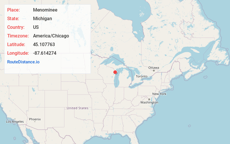
Full AddressMenominee, MI 49858
-
Coordinates45.1077627, -87.6142737
-
LocationMenominee , Michigan , US
-
TimezoneAmerica/Chicago
-
Current Local Time4:59:41 AM America/ChicagoFriday, June 20, 2025
-
Website
-
Page Views0
About Menominee
Menominee is a city and the county seat of Menominee County, Michigan in the Upper Peninsula. The population was 8,488 at the 2020 census. It is the county seat of Menominee County. Menominee is the fourth-largest city in the Upper Peninsula, behind Marquette, Sault Ste. Marie, and Escanaba.


Nearby Places
Found 8 places within 50 miles

Marinette
1.0 mi
1.6 km
Marinette, WI 54143
Get directions

Sturgeon Bay
22.2 mi
35.7 km
Sturgeon Bay, WI 54235
Get directions

Suamico
38.9 mi
62.6 km
Suamico, WI
Get directions

Howard
44.1 mi
71.0 km
Howard, WI
Get directions

Green Bay
45.5 mi
73.2 km
Green Bay, WI
Get directions

Bellevue
47.5 mi
76.4 km
Bellevue, WI
Get directions

Allouez
47.8 mi
76.9 km
Allouez, WI
Get directions

Ashwaubenon
48.7 mi
78.4 km
Ashwaubenon, WI
Get directions
Location Links
Local Weather
Weather Information
Coming soon!
Location Map
Static map view of Menominee, Michigan
Browse Places by Distance
Places within specific distances from Menominee
Short Distances
Long Distances
Click any distance to see all places within that range from Menominee. Distances shown in miles (1 mile ≈ 1.61 kilometers).