Distance to Mercer County, Kentucky

Calculating Your Route
Just a moment while we process your request...
Location Information
-
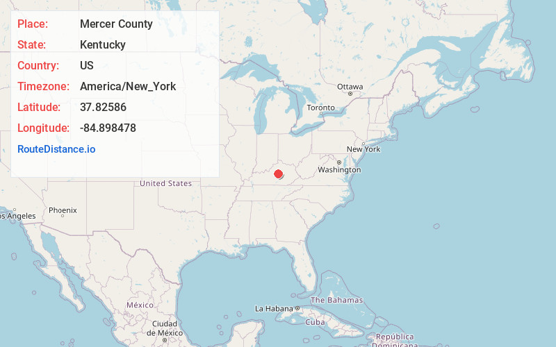
Full AddressMercer County, KY
-
Coordinates37.8258603, -84.8984775
-
LocationKentucky , US
-
TimezoneAmerica/New_York
-
Current Local Time7:34:32 PM America/New_YorkFriday, June 20, 2025
-
Page Views0
About Mercer County
Mercer County is a county located in the central part of the U.S. Commonwealth of Kentucky. As of the 2020 census, the population was 23,772. Its county seat is Harrodsburg.


Nearby Places
Found 10 places within 50 miles

McAfee
3.1 mi
5.0 km
McAfee, KY 40372
Get directions
Mayo
3.5 mi
5.6 km
Mayo, KY 40330
Get directions
Riverview Estates
5.0 mi
8.0 km
Riverview Estates, KY 40330
Get directions
Braxton
5.2 mi
8.4 km
Braxton, KY 40330
Get directions
Harrodsburg
5.3 mi
8.5 km
Harrodsburg, KY 40330
Get directions
Cornishville
5.5 mi
8.9 km
Cornishville, KY 40330
Get directions

Kirkwood
6.4 mi
10.3 km
Kirkwood, KY 40372
Get directions

Salvisa
6.7 mi
10.8 km
Salvisa, KY 40372
Get directions
Tablow
6.9 mi
11.1 km
Tablow, KY 40330
Get directions
Cardwell
7.4 mi
11.9 km
Cardwell, KY 40040
Get directions
Location Links
Local Weather
Weather Information
Coming soon!
Location Map
Static map view of Mercer County, Kentucky
Browse Places by Distance
Places within specific distances from Mercer County
Short Distances
Long Distances
Click any distance to see all places within that range from Mercer County. Distances shown in miles (1 mile ≈ 1.61 kilometers).