Distance to Mercury, Nevada

Calculating Your Route
Just a moment while we process your request...
Location Information
-
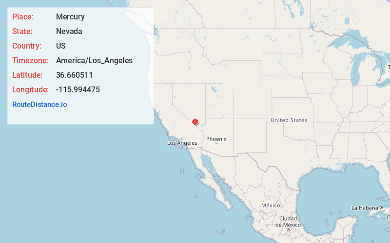
Full AddressMercury, NV
-
Coordinates36.6605105, -115.9944747
-
LocationMercury , Nevada , US
-
TimezoneAmerica/Los_Angeles
-
Current Local Time4:32:20 AM America/Los_AngelesMonday, June 30, 2025
-
Page Views0
About Mercury
Mercury is a closed village in Nye County, Nevada, United States, 5 miles north of U.S. Route 95 at a point 65 miles northwest of Las Vegas. It is situated within the Nevada National Security Site and was constructed by the Atomic Energy Commission to house and service the staff of the test site.

Nearby Places
Found 10 places within 50 miles

Camp Desert Rock
2.7 mi
4.3 km
Camp Desert Rock, NV
Get directions
Point of Rocks
8.3 mi
13.4 km
Point of Rocks, Nevada 89060
Get directions
Frenchman Flat
12.1 mi
19.5 km
Frenchman Flat, Nevada
Get directions

Sugar Bunker
12.5 mi
20.1 km
Sugar Bunker, NV
Get directions

Johnnie
17.2 mi
27.7 km
Johnnie, NV 89060
Get directions

Indian Springs
19.0 mi
30.6 km
Indian Springs, NV
Get directions

Amargosa Valley
22.5 mi
36.2 km
Amargosa Valley, NV 89020
Get directions
Mud Springs
26.4 mi
42.5 km
Mud Springs, Nevada 89124
Get directions

Pahrump
31.3 mi
50.4 km
Pahrump, NV
Get directions
Scranton
31.7 mi
51.0 km
Scranton, CA 92328
Get directions
Location Links
Local Weather
Weather Information
Coming soon!
Location Map
Static map view of Mercury, Nevada
Browse Places by Distance
Places within specific distances from Mercury
Short Distances
Long Distances
Click any distance to see all places within that range from Mercury. Distances shown in miles (1 mile ≈ 1.61 kilometers).