Distance to Meriwether County, Georgia

Calculating Your Route
Just a moment while we process your request...
Location Information
-
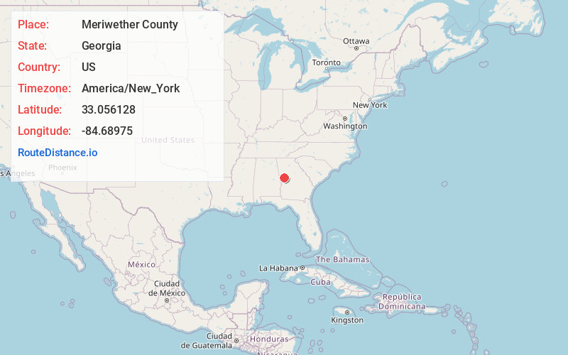
Full AddressMeriwether County, GA
-
Coordinates33.0561282, -84.6897495
-
LocationGeorgia , US
-
TimezoneAmerica/New_York
-
Current Local Time2:31:21 AM America/New_YorkFriday, June 13, 2025
-
Website
-
Page Views0
About Meriwether County
Meriwether County is a county in the West Central region of the U.S. state of Georgia. As of the 2020 census, the population was 20,613. The county seat is Greenville, home of the Meriwether County Courthouse. The county was formed on December 14, 1827, as the 73rd county in Georgia.

Nearby Places
Found 10 places within 50 miles

Greenville
2.3 mi
3.7 km
Greenville, GA 30222
Get directions

Thompson Crossroad
4.9 mi
7.9 km
Thompson Crossroad, GA 30222
Get directions
Andrews Crossroads
5.3 mi
8.5 km
Andrews Crossroads, GA 30293
Get directions
Snelsons Crossroads
5.8 mi
9.3 km
Snelsons Crossroads, GA 30293
Get directions
Barnes Crossroads
6.2 mi
10.0 km
Barnes Crossroads, GA 30222
Get directions
Harris City
6.2 mi
10.0 km
Harris City, GA 30222
Get directions
Primrose
6.7 mi
10.8 km
Primrose, GA 30222
Get directions

Gay
7.2 mi
11.6 km
Gay, GA 30218
Get directions
Edman
7.4 mi
11.9 km
Edman, GA 30293
Get directions
Odessadale
7.7 mi
12.4 km
Odessadale, GA 30222
Get directions
Location Links
Local Weather
Weather Information
Coming soon!
Location Map
Static map view of Meriwether County, Georgia
Browse Places by Distance
Places within specific distances from Meriwether County
Short Distances
Long Distances
Click any distance to see all places within that range from Meriwether County. Distances shown in miles (1 mile ≈ 1.61 kilometers).