Distance to Merritt Island, Florida

Calculating Your Route
Just a moment while we process your request...
Location Information
-
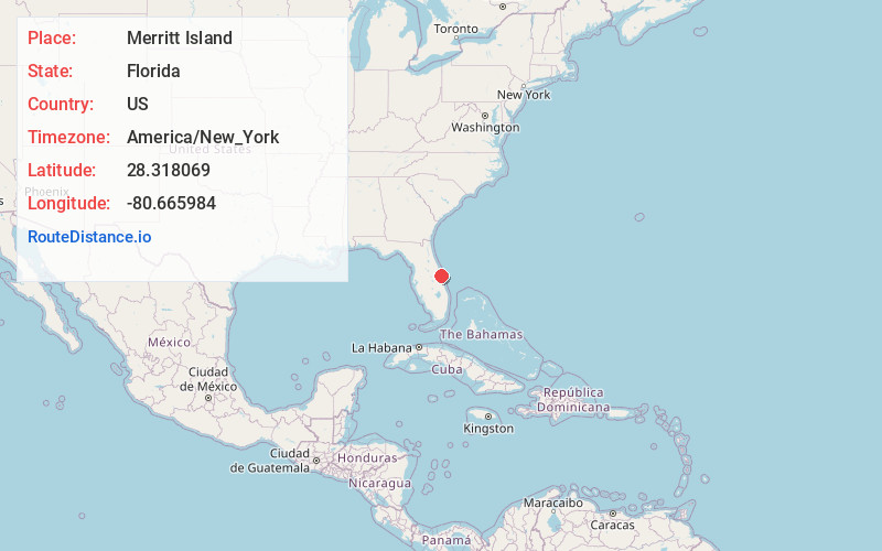
Full AddressMerritt Island, FL
-
Coordinates28.3180688, -80.6659842
-
LocationMerritt Island , Florida , US
-
TimezoneAmerica/New_York
-
Current Local Time7:59:07 PM America/New_YorkThursday, June 19, 2025
-
Page Views0
About Merritt Island
Merritt Island is a peninsula, commonly referred to as an island, in Brevard County, Florida, United States, located on the eastern Florida coast, along the Atlantic Ocean. It is also the name of an unincorporated town in the central and southern parts of the island and a census-designated place.


Nearby Places
Found 10 places within 50 miles

Melbourne
16.9 mi
27.2 km
Melbourne, FL
Get directions

Palm Bay
20.2 mi
32.5 km
Palm Bay, FL
Get directions

Titusville
21.8 mi
35.1 km
Titusville, FL
Get directions

Alafaya
37.2 mi
59.9 km
Alafaya, FL
Get directions

St Cloud
37.7 mi
60.7 km
St Cloud, FL
Get directions

Oviedo
40.9 mi
65.8 km
Oviedo, FL
Get directions

Meadow Woods
42.8 mi
68.9 km
Meadow Woods, FL 32824
Get directions

Kissimmee
44.9 mi
72.3 km
Kissimmee, FL
Get directions

Orlando
45.9 mi
73.9 km
Orlando, FL
Get directions

Winter Springs
47.0 mi
75.6 km
Winter Springs, FL
Get directions
Location Links
Local Weather
Weather Information
Coming soon!
Location Map
Static map view of Merritt Island, Florida
Browse Places by Distance
Places within specific distances from Merritt Island
Short Distances
Long Distances
Click any distance to see all places within that range from Merritt Island. Distances shown in miles (1 mile ≈ 1.61 kilometers).