Distance to Mesa, Idaho

Calculating Your Route
Just a moment while we process your request...
Location Information
-
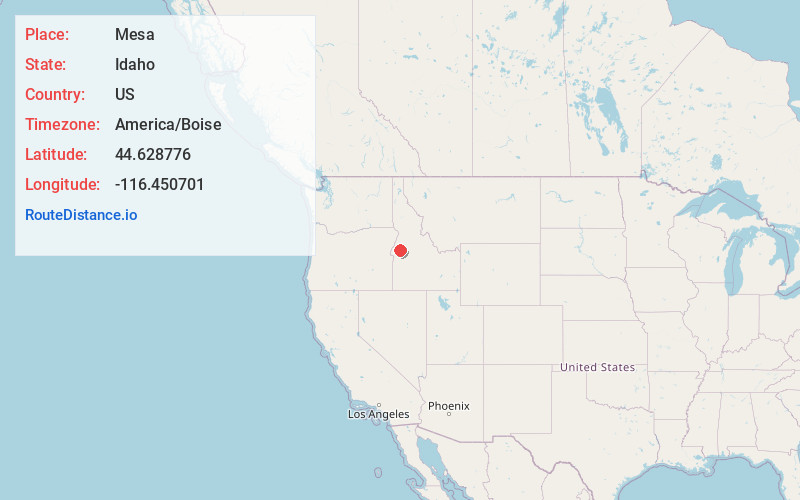
Full AddressMesa, ID 83643
-
Coordinates44.628776, -116.4507006
-
LocationMesa , Idaho , US
-
TimezoneAmerica/Boise
-
Current Local Time9:24:25 AM America/BoiseWednesday, June 18, 2025
-
Page Views0
About Mesa
Mesa is an unincorporated community in Adams County, Idaho, United States. Mesa is located near U.S. Route 95 7 miles south of Council. Mesa has its own ZIP code, 83643. It is home to the Marymount Hermitage.
Nearby Places
Found 10 places within 50 miles

Council
7.0 mi
11.3 km
Council, ID 83612
Get directions

Hoover
8.6 mi
13.8 km
Hoover, ID 83612
Get directions

Cambridge
11.7 mi
18.8 km
Cambridge, ID 83610
Get directions
Starkey
15.3 mi
24.6 km
Starkey, ID 83612
Get directions
Stevens
15.6 mi
25.1 km
Stevens, ID 83612
Get directions

Midvale
17.7 mi
28.5 km
Midvale, ID 83645
Get directions
Evergreen
18.3 mi
29.5 km
Evergreen, ID 83612
Get directions
Old Fort
19.1 mi
30.7 km
Old Fort, ID 83638
Get directions

Donnelly
19.7 mi
31.7 km
Donnelly, ID 83615
Get directions
Arling
19.7 mi
31.7 km
Arling, ID 83615
Get directions
Location Links
Local Weather
Weather Information
Coming soon!
Location Map
Static map view of Mesa, Idaho
Browse Places by Distance
Places within specific distances from Mesa
Short Distances
Long Distances
Click any distance to see all places within that range from Mesa. Distances shown in miles (1 mile ≈ 1.61 kilometers).