Distance to Mesquakie Indian Settlement, Iowa

Calculating Your Route
Just a moment while we process your request...
Location Information
-
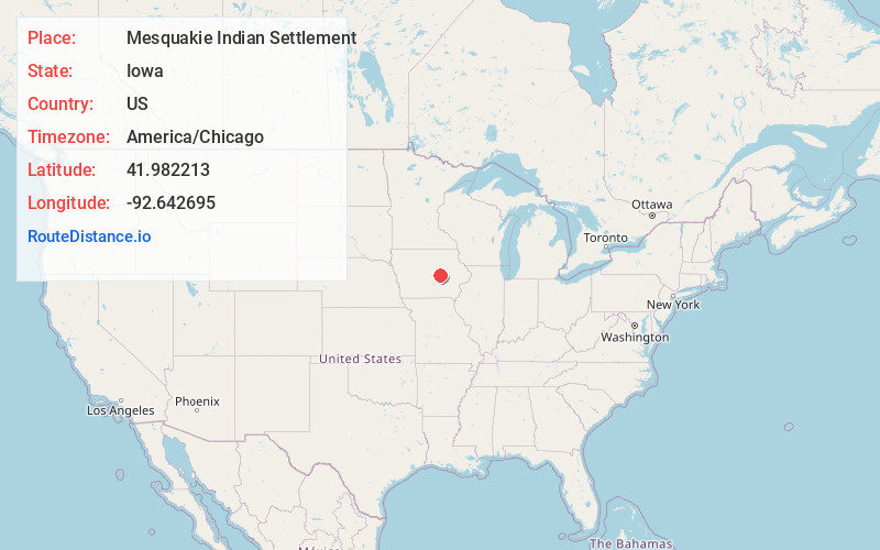
Full AddressMesquakie Indian Settlement, IA 52339
-
Coordinates41.982213, -92.6426945
-
LocationIowa , US
-
TimezoneAmerica/Chicago
-
Current Local Time4:42:52 AM America/ChicagoFriday, June 20, 2025
-
Page Views0
About Mesquakie Indian Settlement
Meskwakiinaki, also called the Meskwaki Settlement, is an unincorporated community in Tama County, Iowa, United States, west of Tama. It encompasses the lands of the Meskwaki Nation, one of three Sac and Fox tribes in the United States. The others are located in Oklahoma and Kansas.
Nearby Places
Found 10 places within 50 miles

Toledo
3.2 mi
5.1 km
Toledo, IA
Get directions

Tama
3.6 mi
5.8 km
Tama, IA
Get directions
Montour
3.7 mi
6.0 km
Montour, IA 50173
Get directions
Le Grand
7.0 mi
11.3 km
Le Grand, IA
Get directions
Gladstone
7.6 mi
12.2 km
Gladstone, IA 52339
Get directions
Garwin
7.9 mi
12.7 km
Garwin, IA 50632
Get directions
Gilman
10.4 mi
16.7 km
Gilman, IA 50106
Get directions
Haven
10.5 mi
16.9 km
Haven, IA 52339
Get directions
Ferguson
11.9 mi
19.2 km
Ferguson, IA
Get directions
Green Mountain
12.3 mi
19.8 km
Green Mountain, IA
Get directions
Location Links
Local Weather
Weather Information
Coming soon!
Location Map
Static map view of Mesquakie Indian Settlement, Iowa
Browse Places by Distance
Places within specific distances from Mesquakie Indian Settlement
Short Distances
Long Distances
Click any distance to see all places within that range from Mesquakie Indian Settlement. Distances shown in miles (1 mile ≈ 1.61 kilometers).