Distance to Metcalf, Georgia

Calculating Your Route
Just a moment while we process your request...
Location Information
-
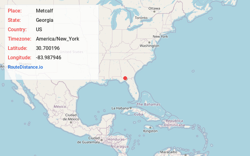
Full AddressMetcalf, GA 31792
-
Coordinates30.7001964, -83.9879463
-
LocationMetcalf , Georgia , US
-
TimezoneAmerica/New_York
-
Current Local Time6:46:02 PM America/New_YorkTuesday, June 17, 2025
-
Page Views0
About Metcalf
Metcalfe is a small village in southwestern Georgia, United States. The WCTV Tower, the tallest structure in Georgia, is located near Metcalfe. The lumberyard closed in 2023 and is located on the main highway. There are two churches located in Metcalfe, Friendship Baptist and Metcalfe Methodist Church.
Nearby Places
Found 10 places within 50 miles

Fincher
3.1 mi
5.0 km
Fincher, FL 32344
Get directions

Thomasville
9.4 mi
15.1 km
Thomasville, GA
Get directions
Newark
9.7 mi
15.6 km
Newark, GA 31757
Get directions
Montivilla
12.1 mi
19.5 km
Montivilla, FL 32344
Get directions
Peck
12.7 mi
20.4 km
Peck, FL 32309
Get directions

Monticello
12.8 mi
20.6 km
Monticello, FL 32344
Get directions

Boston
13.4 mi
21.6 km
Boston, GA 31626
Get directions
Baum
14.0 mi
22.5 km
Baum, FL 32317
Get directions
Wadesboro
14.2 mi
22.9 km
Wadesboro, FL 32317
Get directions

Lloyd
15.5 mi
24.9 km
Lloyd, FL 32344
Get directions
Location Links
Local Weather
Weather Information
Coming soon!
Location Map
Static map view of Metcalf, Georgia
Browse Places by Distance
Places within specific distances from Metcalf
Short Distances
Long Distances
Click any distance to see all places within that range from Metcalf. Distances shown in miles (1 mile ≈ 1.61 kilometers).